Mein Startpunkt war der Campingplatz Polari ca. 3 km südlich von Rovinj.
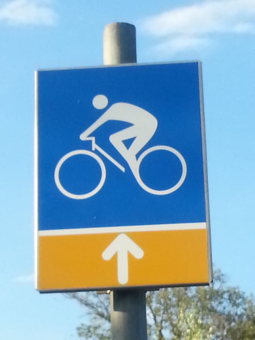
Die Beschilderung der Strecke (weißer Pfeil auf gelbem Grund) ist fast durchgängig gut. Überwiegend fährt man auf Schotterstrecken.
Die Diretissima zwischen den Wegpunkten Z1 und Z2 ist sehr zugewachsen und kann ich nicht empfehlen.
galéria trás
Mapa trasy a výškový profil
Minimum height 4 m
Maximum height 179 m
komentáre

GPS trasy
Trackpoints-
GPX / Garmin Map Source (gpx) download
-
TCX / Garmin Training Center® (tcx) download
-
CRS / Garmin Training Center® (crs) download
-
Google Earth (kml) download
-
G7ToWin (g7t) download
-
TTQV (trk) download
-
Overlay (ovl) download
-
Fugawi (txt) download
-
Kompass (DAV) Track (tk) download
-
list trasy (pdf) download
-
Original file of the author (gpx) download
Add to my favorites
Remove from my favorites
Edit tags
Open track
My score
Rate


