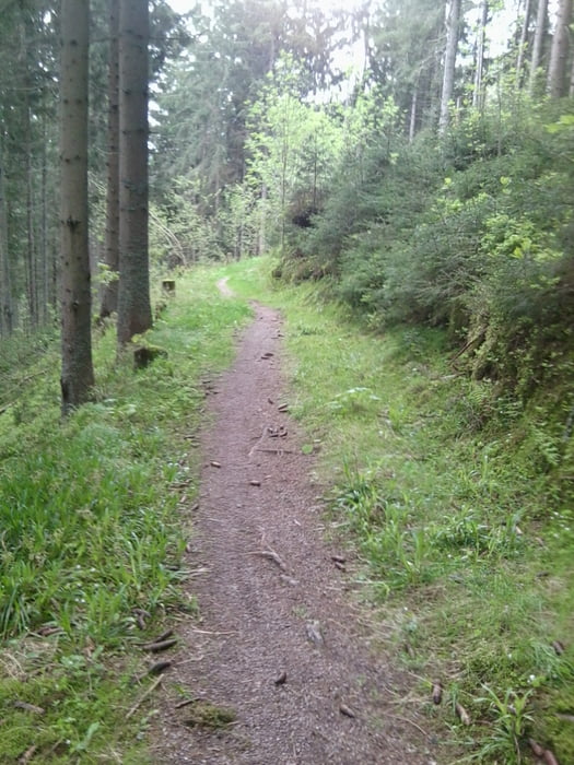
Start in Titisee-Neustadt am Bahnhof über schöne Anstiege geht es nach Titisee von dort über die Ravennaschlucht nach Buchenbach durch Freiburg Ebnet in die Fußgängerzone und dann Über Waltershofen und Merdingen über den Tuniberg nach Breisach.
galéria trás
Mapa trasy a výškový profil
Minimum height 194 m
Maximum height 1062 m
komentáre

Über A81 bis Donaueschingen dann B31 bis Titisee-Neustadt
GPS trasy
Trackpoints-
GPX / Garmin Map Source (gpx) download
-
TCX / Garmin Training Center® (tcx) download
-
CRS / Garmin Training Center® (crs) download
-
Google Earth (kml) download
-
G7ToWin (g7t) download
-
TTQV (trk) download
-
Overlay (ovl) download
-
Fugawi (txt) download
-
Kompass (DAV) Track (tk) download
-
list trasy (pdf) download
-
Original file of the author (gpx) download
Add to my favorites
Remove from my favorites
Edit tags
Open track
My score
Rate


