


gestartet wird am Parkplatz in Kohlstatt.
Von hier aus geht es zunächst einige hundert Meter gerade aus in die Berge hinein. Dann folgt man an einem Abzweig den Hinweisschilder Vorderalm. Ab hier beginnt der steile Aufstieg Richtung Brachtalm. Über 2-3 km zieht sich der Forstweg mit ca. 15-20% Steigung den Berg hinauf.
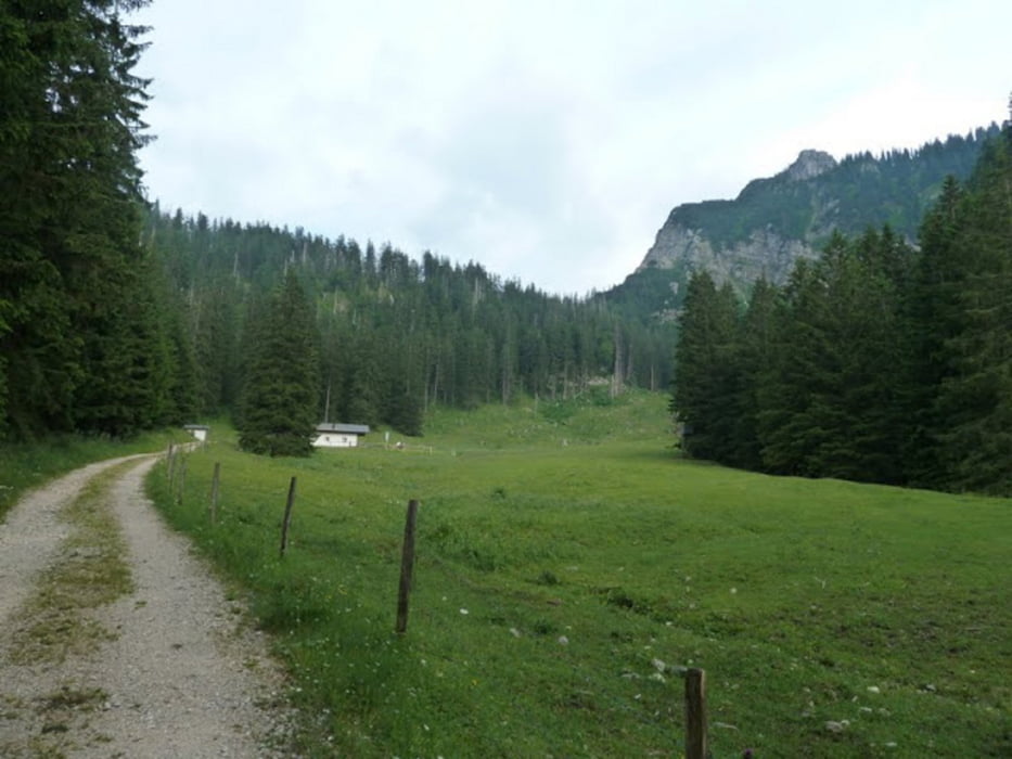
Sobald man den bewaldeten Bereich verlässt wird die Steigung moderater.
Wenn man auf der rechten Seite die Vorderalm liegen sieht, biegt man auf einem schmal Holzsteg nach links ab, der über das Hochmoor führt.
Nun noch eine kurze Anstiegsphase durch den Wald und man erreicht linker Hand die Brachtalm.
Eine wunderbare Brotzeitplatte und ausnehmend nette Gastgeber verwöhnen und lassen die Mühen vom Aufstieg schnell vergessen.
Ein tolles Ziel.
galéria trás


Mapa trasy a výškový profil
Minimum height 709 m
Maximum height 1198 m
More about the tour author
|
|
heikes |
komentáre

über Bergen, Maxhütte zum Parkplatz Kohlstatt
GPS trasy
Trackpoints-
GPX / Garmin Map Source (gpx) download
-
TCX / Garmin Training Center® (tcx) download
-
CRS / Garmin Training Center® (crs) download
-
Google Earth (kml) download
-
G7ToWin (g7t) download
-
TTQV (trk) download
-
Overlay (ovl) download
-
Fugawi (txt) download
-
Kompass (DAV) Track (tk) download
-
list trasy (pdf) download
-
Original file of the author (gpx) download
More about the tour author
|
|
heikes |
Add to my favorites
Remove from my favorites
Edit tags
Open track
My score
Rate