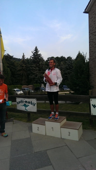
Schöner Landschaftslauf mit einer anfänglichen Steigung. Hat man diese geschafft geht es bis kurz vor dem Ziel bergab. Super Organisation und tolle Preise. Niedrige Preise für Kaffee, Kuchen und weitere Getränke.
Mapa trasy a výškový profil
Minimum height 160 m
Maximum height 283 m
komentáre

GPS trasy
Trackpoints-
GPX / Garmin Map Source (gpx) download
-
TCX / Garmin Training Center® (tcx) download
-
CRS / Garmin Training Center® (crs) download
-
Google Earth (kml) download
-
G7ToWin (g7t) download
-
TTQV (trk) download
-
Overlay (ovl) download
-
Fugawi (txt) download
-
Kompass (DAV) Track (tk) download
-
list trasy (pdf) download
-
Original file of the author (gpx) download
Add to my favorites
Remove from my favorites
Edit tags
Open track
My score
Rate

