


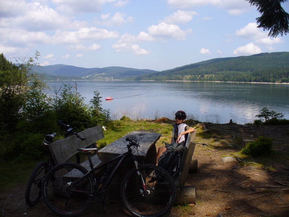
Von Saig Richtung Falkau, am Windgfällweiher vorbei zum Schluchsee.
Tipp von uns zum Frühstück im Cafe Hug im Ort Schluchsee, toller Blick auf den See und prima Weckle (für nicht Badener, Brötchen).
Weiter über die Staummauer. Jetzt verlassen wir den See Richtung Oberkrummen zur Roßhütte. Bei der Roßhütte ist ein Brunnen wo die Wasserflaschen gefüllt werden können.
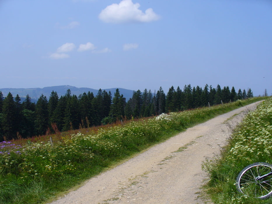
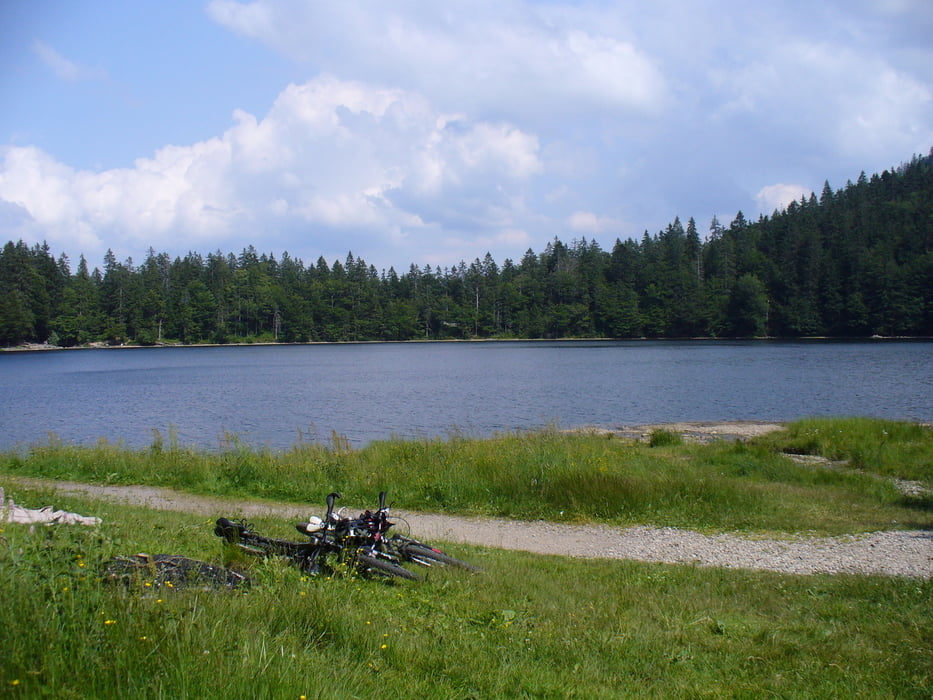
Eine kurze Abfahrt zum Äulemer Kreuz weiter Richtung Farnwitte zum Caritas Haus am Feldberpass. Von hier gehts dann hoch zur Todtnauerhütte, Wilhelmerhütte. Weiter über das Zastlerloch und den Rinken zum Feldsee.
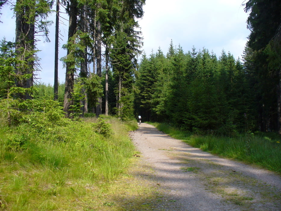
Zurück über Bärental das Schuppenhörnle wieder nach Saig.
Further information at
http://www.haus-loni.degaléria trás
Mapa trasy a výškový profil
Minimum height 929 m
Maximum height 1387 m
More about the tour author
|
|
Arni51 |
komentáre

Parken kann man in Saig beim Haus des Gastes, Minigolfplatz, mit kleinem Kiosk.
GPS trasy
Trackpoints-
GPX / Garmin Map Source (gpx) download
-
TCX / Garmin Training Center® (tcx) download
-
CRS / Garmin Training Center® (crs) download
-
Google Earth (kml) download
-
G7ToWin (g7t) download
-
TTQV (trk) download
-
Overlay (ovl) download
-
Fugawi (txt) download
-
Kompass (DAV) Track (tk) download
-
list trasy (pdf) download
-
Original file of the author (gpx) download
More about the tour author
|
|
Arni51 |
Add to my favorites
Remove from my favorites
Edit tags
Open track
My score
Rate