Login

Zabudli ste prihlasovacia meno

Cookies have to be accepted!
Your browser's cookie functionality is disabled. Please enable this functionality.

Not a member yet?

Register now
Login

Available for registred users only

Log in to use this feature.

Zabudli ste prihlasovacia meno

Cookies have to be accepted!
Your browser's cookie functionality is disabled. Please enable this functionality.

Not a member yet?

Register now
Filter
Kategórie
Advanced filters
  • Dĺžka (km)
  • výškomer
Uložiť filter Reset filter

TrackRank

QRCode

Technical data

Dĺžka29,2 km výškomer1461 m Way down1425 m Doba04:55 h:m dátum16.07.2013
ohodnotenia Author Kraj pôžitok z túry kondícia technika

štatistika

377 náhľady ohodnotenia 55 Stiahnutia priemer
Rate
  • list trasy
  • príjazd
  • Stiahnutia

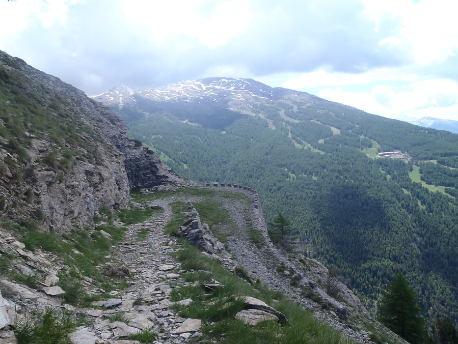
Direkt über dem Tunneleinstieg geht es zunächst über einen Trail, bis man auf einer alten Militärstraße landet, die traumhaft schön zu fahren ist und großartige Ausblicke bietet


galéria trás

Mapa trasy a výškový profil

  • Open Street Map
  • Google
Minimum height 1260 m Maximum height 2202 m Detailný pohľad

More about the tour author

haaaatz
Member since 2011

Send private message

komentáre

GPS trasy

Trackpoints
  • GPX / Garmin Map Source (gpx) download
  • TCX / Garmin Training Center® (tcx) download
  • CRS / Garmin Training Center® (crs) download
  • Google Earth (kml) download
  • G7ToWin (g7t) download
  • TTQV (trk) download
  • Overlay (ovl) download
  • Fugawi (txt) download
  • Kompass (DAV) Track (tk) download
  • list trasy (pdf) download
  • Original file of the author (gpx) download

More about the tour author

haaaatz
Member since 2011

Send private message
Share track
Add to my favorites
Remove from my favorites
Edit tags
My score
Rate
trasa: Über dem Tunnel von Frejus
Druh: horský bicykel
Dĺžka: 29,2 km
Evaluated on:
Doba:
Day(s)
Hour(s)
Minute(s)
ohodnotenie: Kraj pôžitok z túry kondícia technika