Login

Zabudli ste prihlasovacia meno

Cookies have to be accepted!
Your browser's cookie functionality is disabled. Please enable this functionality.

Not a member yet?

Register now
Login

Available for registred users only

Log in to use this feature.

Zabudli ste prihlasovacia meno

Cookies have to be accepted!
Your browser's cookie functionality is disabled. Please enable this functionality.

Not a member yet?

Register now
Filter
Kategórie
Advanced filters
  • Dĺžka (km)
  • výškomer
Uložiť filter Reset filter

TrackRank

QRCode

Technical data

Dĺžka39,2 km výškomer720 m Way down667 m Doba02:23 h:m dátum17.07.2013
ohodnotenia Author Kraj pôžitok z túry kondícia technika

štatistika

384 náhľady ohodnotenia 69 Stiahnutia priemer
Rate
  • list trasy
  • príjazd
  • Stiahnutia

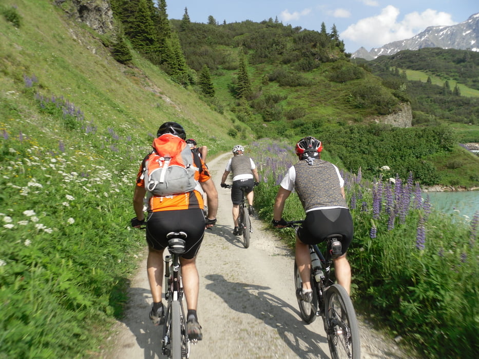
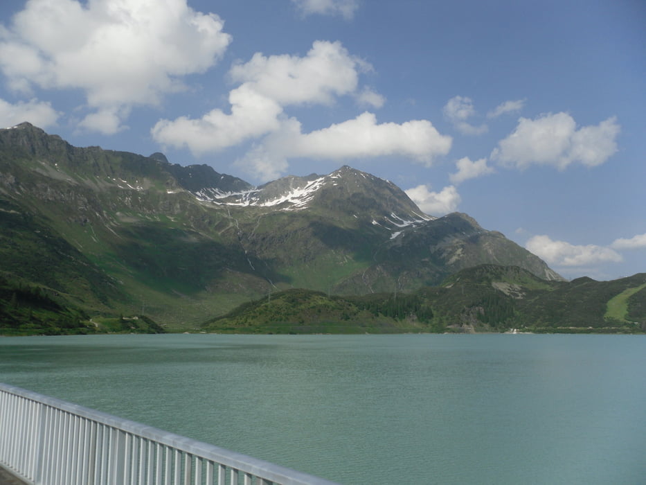
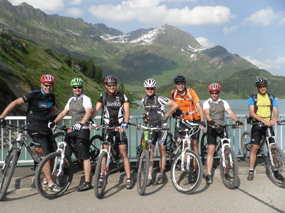
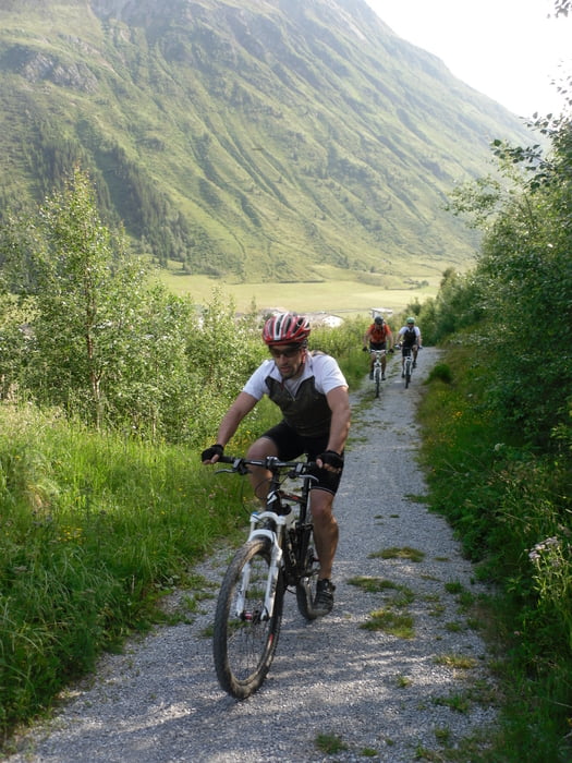
Von Ischgl aus im Uhrzeigersinn über Galtür an den Kops Stausee. Eine Runde um den Stausee und auf der anderen Talseite wieder zurück nach Ischgl.


galéria trás

Mapa trasy a výškový profil

  • Open Street Map
  • Google
Minimum height 1315 m Maximum height 1839 m Detailný pohľad

More about the tour author

schmidt-markus1
Member since 2009

Send private message

komentáre

GPS trasy

Trackpoints
  • GPX / Garmin Map Source (gpx) download
  • TCX / Garmin Training Center® (tcx) download
  • CRS / Garmin Training Center® (crs) download
  • Google Earth (kml) download
  • G7ToWin (g7t) download
  • TTQV (trk) download
  • Overlay (ovl) download
  • Fugawi (txt) download
  • Kompass (DAV) Track (tk) download
  • list trasy (pdf) download
  • Original file of the author (gpx) download

More about the tour author

schmidt-markus1
Member since 2009

Send private message
Share track
Add to my favorites
Remove from my favorites
Edit tags
My score
Rate
trasa: Kops Stausee
Druh: horský bicykel
Dĺžka: 39,2 km
Evaluated on:
Doba:
Day(s)
Hour(s)
Minute(s)
ohodnotenie: Kraj pôžitok z túry kondícia technika