Login

Zabudli ste prihlasovacia meno

Cookies have to be accepted!
Your browser's cookie functionality is disabled. Please enable this functionality.

Not a member yet?

Register now
Login

Available for registred users only

Log in to use this feature.

Zabudli ste prihlasovacia meno

Cookies have to be accepted!
Your browser's cookie functionality is disabled. Please enable this functionality.

Not a member yet?

Register now
Filter
Kategórie
Advanced filters
  • Dĺžka (km)
  • výškomer
Uložiť filter Reset filter

TrackRank

QRCode

Technical data

Dĺžka15,2 km výškomer1051 m Way down1032 m Doba03:15 h:m dátum17.07.2013
ohodnotenia Author Kraj pôžitok z túry kondícia technika

štatistika

2397 náhľady ohodnotenia 67 Stiahnutia priemer
Rate
  • list trasy
  • príjazd
  • Stiahnutia

Achtung:
Die Strecke ab dem Hochhädrich ist seilgesichert.
Trittsicherheit erforderlich!


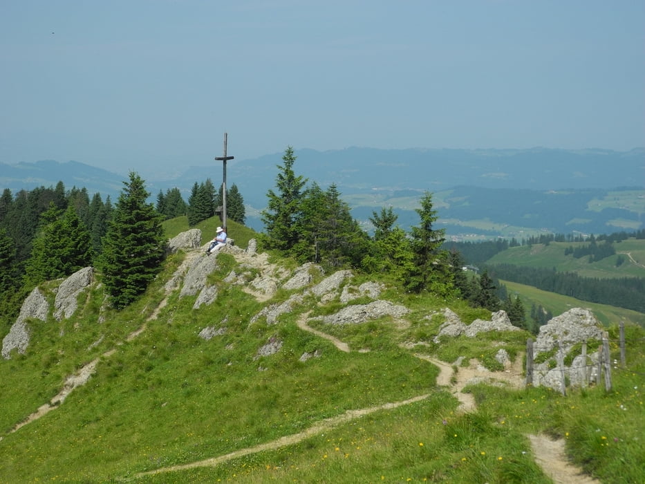
Mit meinem Bergmönch

galéria trás

Mapa trasy a výškový profil

  • Open Street Map
  • Google
Minimum height 737 m Maximum height 1568 m Detailný pohľad

More about the tour author

xlink
Member since 2010

Send private message

komentáre

ChristoHutschel on 03.01.2016

Video

Der Hochhäderich ist ein 1565 m hoher Gipfel der Allgäuer Alpen. Er ist der westlichste Berg der Nagelfluhkette und gehört zum Naturpark Nagelfluhkette. Von Reute (Hittisau) führt diese gemütliche Wanderung über die Streichbrunnenalp hinauf zum Alpengasthaus Hochhäderich und weiter auf den Gipfel. Im Abstieg gibt es ein paar Kletterpassagen am Drahtseil, bevor man an der Urschlabodenalp hinaus in die Lieblichkeit des Bregenzerwaldes wandert. Hier mein Video dazu:
https://youtu.be/FGz5MeZ5sSo.

GPS trasy

Trackpoints
  • GPX / Garmin Map Source (gpx) download
  • TCX / Garmin Training Center® (tcx) download
  • CRS / Garmin Training Center® (crs) download
  • Google Earth (kml) download
  • G7ToWin (g7t) download
  • TTQV (trk) download
  • Overlay (ovl) download
  • Fugawi (txt) download
  • Kompass (DAV) Track (tk) download
  • list trasy (pdf) download
  • Original file of the author (gpx) download

More about the tour author

xlink
Member since 2010

Send private message
Share track
Add to my favorites
Remove from my favorites
Edit tags
My score
Rate
trasa: Hittisau - Hochhädrich - Falkenköpfe - Lecknertal
Druh: trasa
Dĺžka: 15,2 km
Evaluated on:
Doba:
Day(s)
Hour(s)
Minute(s)
ohodnotenie: Kraj pôžitok z túry kondícia technika