
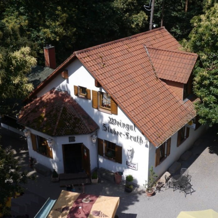

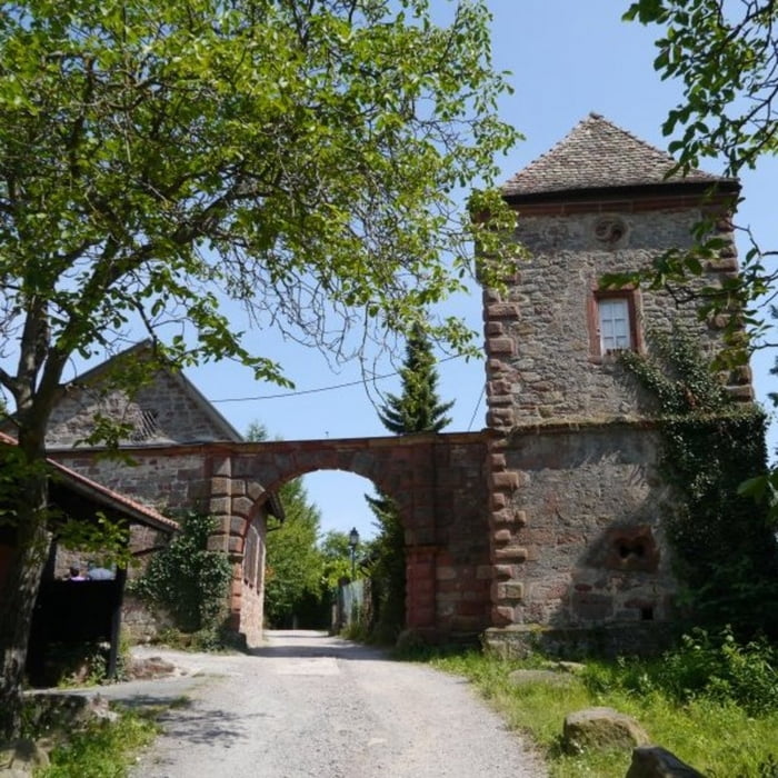
Vom Parkplatz beim Friedensdenkmal führt die Strecke im Triefenbachtal zur Edenkobener Hütte am Hüttenbrunnen, dabei sind moderate Steigungen zu überwinden. Von dort biegt man anschließend ins Haselbachtal ein, geht weiter zum Morschenbergbrunnen und erreicht an einer Schutzhütte die höchste Stelle der Tour. Von dort geht es dann wieder abwärts bis zum Haus an den Fichten. Der Rückweg zum Friedensdenkmal und damit zur Waldgaststätte Friedensdenkmal führt entlang des Kropsbachs bis zur Kropsburg und ein kleines Stück auf der K30 weiter zum Ziel der Tour.
galéria trás


Mapa trasy a výškový profil
Minimum height 298 m
Maximum height 507 m
More about the tour author

|
isg13 |
komentáre
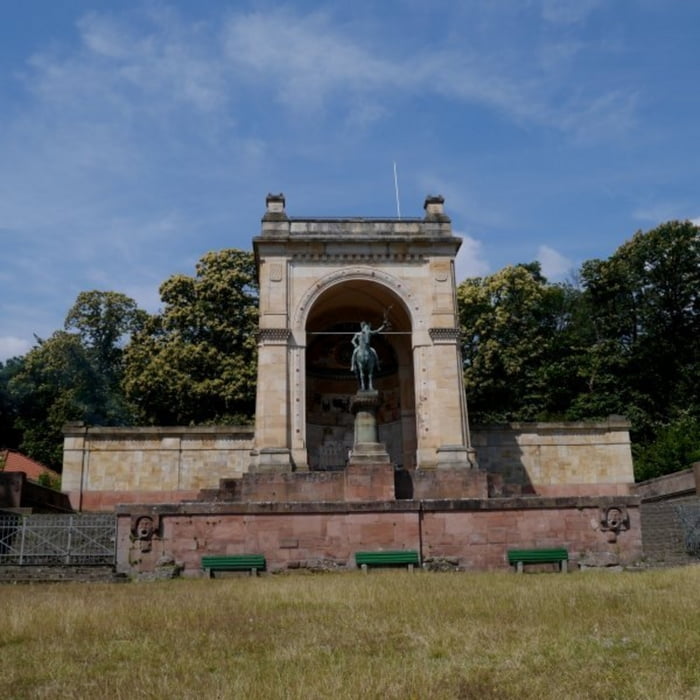
Startpunkt der Tour ist der Parkplatz beim Friedensdenkmal
GPS trasy
Trackpoints-
GPX / Garmin Map Source (gpx) download
-
TCX / Garmin Training Center® (tcx) download
-
CRS / Garmin Training Center® (crs) download
-
Google Earth (kml) download
-
G7ToWin (g7t) download
-
TTQV (trk) download
-
Overlay (ovl) download
-
Fugawi (txt) download
-
Kompass (DAV) Track (tk) download
-
list trasy (pdf) download
-
Original file of the author (gpx) download
More about the tour author
|
|
isg13 |
Add to my favorites
Remove from my favorites
Edit tags
Open track
My score
Rate
Friedensdenkmal