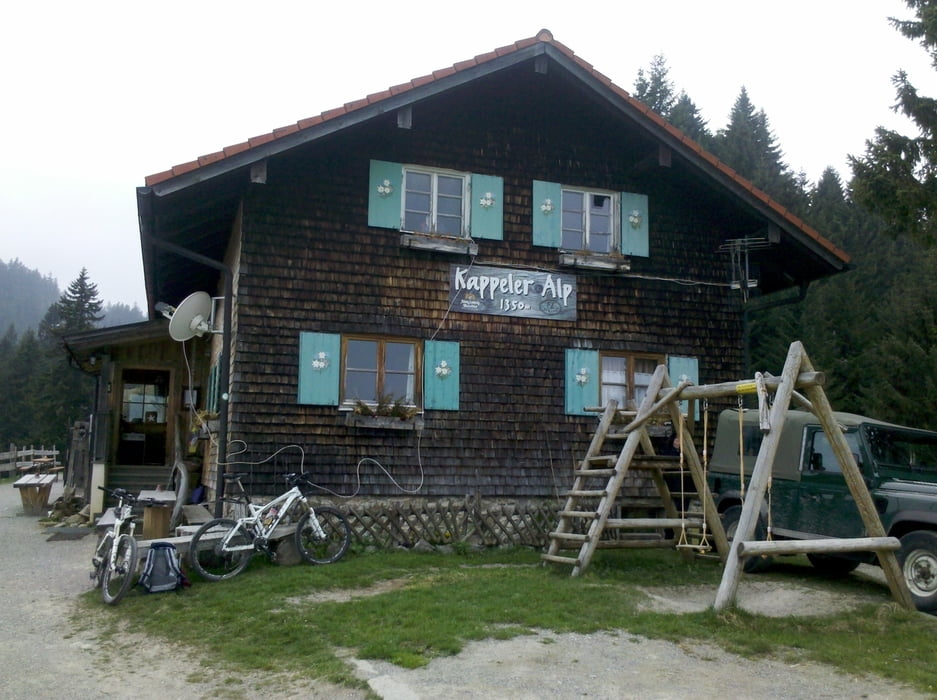
Auffahrt zur Kappeler Alm recht steil, viel Asphalt(Spritzdecke) aber super um Schlupffrei schnell
Höhenmeter zu machen.
Ab Kappeler Alm wird der Weg schlechter aber ist immer noch o.k.
Ist die Alpspitze erreicht heißt es Rucksack auf und rein in die Protectoren(da hat man den Kopf
freier bei der Abfahrt).
Kleiner Gegenanstieg.
Weitere kurze Abfahrt auf Forststraße, jetzt aufpassen und Rechts weg auf Pfad Dinser Hütte.
Wunderschön verwurzelter Trail meist ohne Fels im Gehölz und alles fahrbar wenn man
die Räder am laufen hält.
Wenn mal eine Sektion nicht funktioniert heißt es nochmal zurück und nochmal probieren.
galéria trás
Mapa trasy a výškový profil
komentáre
GPS trasy
Trackpoints-
GPX / Garmin Map Source (gpx) download
-
TCX / Garmin Training Center® (tcx) download
-
CRS / Garmin Training Center® (crs) download
-
Google Earth (kml) download
-
G7ToWin (g7t) download
-
TTQV (trk) download
-
Overlay (ovl) download
-
Fugawi (txt) download
-
Kompass (DAV) Track (tk) download
-
list trasy (pdf) download
-
Original file of the author (gpx) download


leichte Endurotour
Danke für diese Erlösende Route vom Edelsberg hinunter.Da wir mehrmals im Jahr die Pfrontener Marathon tour fahren und Höhenmeter nicht gern auf Schotter vernichten ist dieser Trail gerade richtig.Wobei im Marathon die Strecke ok ist.Leider ist er für mich nicht durchgehend fahrbar.Aber ich glaub als Hardtail fahrer mach ich mich ganz gut.
Servus
Bike Team Türkheim