


Diese Wanderung führt auf dem offiziellem Talwanderweg von Kappl nach See (Kappl - Tour 02: Kappl - Holdernach - See).
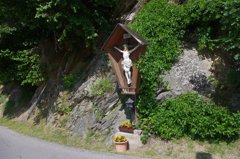
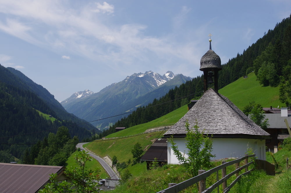
Wir starteten direkt vom Haus Riverside. Gleich zu Beginn stieg der Weg auf der Wiese bis zum Edelweiß-Schlössl ordentlich an. Auf der nächsten Ebene konnten wir dann die Aussicht auf den Wasserfall des Visnitzbaches und auf die Rotwegkapelle geniessen.
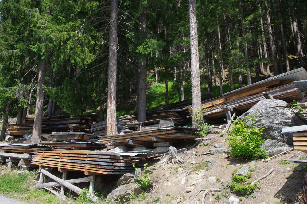
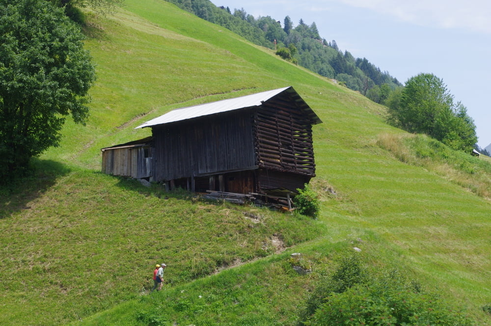
Nach dem Hauptort von Kappl schließen sich noch viele kleine Weiler an bis endlich ein schöner Wanderweg erreicht wird.
Dieser mündet zwar immer mal wieder in einen Weiler, trotzdem ist es dann abwechlungreich und landschaftich sehr schön bis nach See hinunter.
Direkt bei der Touristinfo befindet sich die Bushaltestelle die einen zum Ausgangspunkt zurückbringt.
Further information at
http://www.kappl.com/degaléria trás
Mapa trasy a výškový profil
Minimum height 1072 m
Maximum height 1339 m
More about the tour author
|
|
Pheinz |
komentáre

Direkt vor dem Haus Riverside in Kappl, Wiese.
GPS trasy
Trackpoints-
GPX / Garmin Map Source (gpx) download
-
TCX / Garmin Training Center® (tcx) download
-
CRS / Garmin Training Center® (crs) download
-
Google Earth (kml) download
-
G7ToWin (g7t) download
-
TTQV (trk) download
-
Overlay (ovl) download
-
Fugawi (txt) download
-
Kompass (DAV) Track (tk) download
-
list trasy (pdf) download
-
Original file of the author (gpx) download
More about the tour author
|
|
Pheinz |
Add to my favorites
Remove from my favorites
Edit tags
Open track
My score
Rate