


Noch eine Kleine Radtour bevor wir das Wandern beginnen wollten.
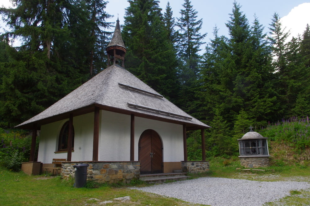
Vom Parkplatz runter zum Bach, über die Brücke und dann beginnt auch schon der Anstieg. Nach kurzer Distanz passierten wir die Waldkapelle deren Brunnen laut röchelte.
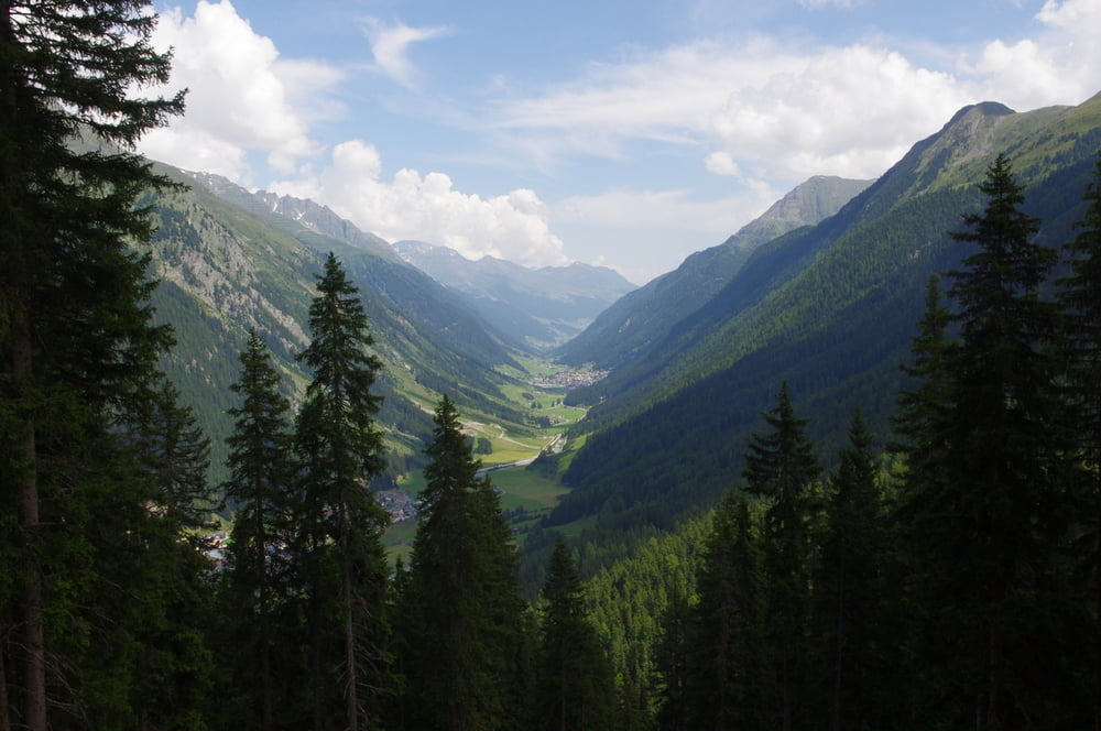
Nach der Kere die darauf folgte begann dann der richtige Anstieg. Je weiter wir nach oben kamen je schöner wurde die Umgebung. Oben auf der Alpe angekommen freuten wir uns auf eine kleine Erfrischung.
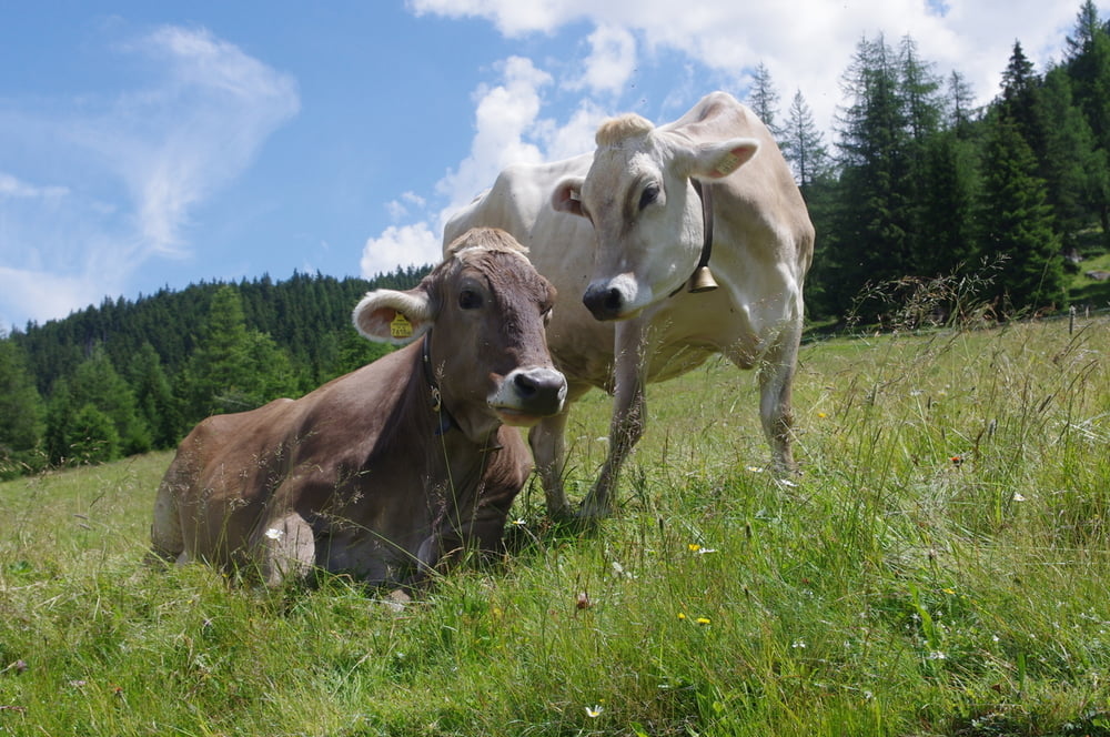
Die ansässigen Nutztiere waren auf jeden Fall ein Foto wert.
An diesem Tag war der Silvrettarun. So konnten wir die Teilnehmerinnen und Teilnehmer anfeuern. Ein solcher Lauf findet ja auf den längsten Teil ohne Publikum statt.
Auf unserem Rückweg folgten wir etwas der Laufstrecke über einen schmalen Weg der dann wieder auf einen Forstweg traf.
Unten im Tal radelten wir dann noch bis Ischgl und gaben ein Bike zurück.
Das Paznaun ist zum radeln ideal.
Further information at
http://www.ischgl.com/degaléria trás

Mapa trasy a výškový profil
Minimum height 1368 m
Maximum height 1864 m
More about the tour author
|
|
Pheinz |
komentáre

Am Wildpark bei Mathon geht es los.
GPS trasy
Trackpoints-
GPX / Garmin Map Source (gpx) download
-
TCX / Garmin Training Center® (tcx) download
-
CRS / Garmin Training Center® (crs) download
-
Google Earth (kml) download
-
G7ToWin (g7t) download
-
TTQV (trk) download
-
Overlay (ovl) download
-
Fugawi (txt) download
-
Kompass (DAV) Track (tk) download
-
list trasy (pdf) download
-
Original file of the author (gpx) download
More about the tour author
|
|
Pheinz |
Add to my favorites
Remove from my favorites
Edit tags
Open track
My score
Rate