Login

Zabudli ste prihlasovacia meno

Cookies have to be accepted!
Your browser's cookie functionality is disabled. Please enable this functionality.

Not a member yet?

Register now
Login

Available for registred users only

Log in to use this feature.

Zabudli ste prihlasovacia meno

Cookies have to be accepted!
Your browser's cookie functionality is disabled. Please enable this functionality.

Not a member yet?

Register now
Filter
Kategórie
Advanced filters
  • Dĺžka (km)
  • výškomer
Uložiť filter Reset filter

TrackRank

QRCode

Technical data

Dĺžka29,1 km výškomer1048 m Way down962 m Doba00:00 h:m dátum06.08.2013
ohodnotenia Author Kraj pôžitok z túry kondícia technika

štatistika

533 náhľady ohodnotenia 100 Stiahnutia priemer
Rate
  • list trasy
  • príjazd
  • Stiahnutia

Vom Parkplatz Klettersteig Kanzianiberg zuerst Richtung Baumhartnerhöhe, einen kurzen Abstecher (nicht gewollt) zum GH Bamgartnerhof weiter Richtung Outschena. Rechts auf den Schotterweg schon gut Beschriftet eh. Annahütte.

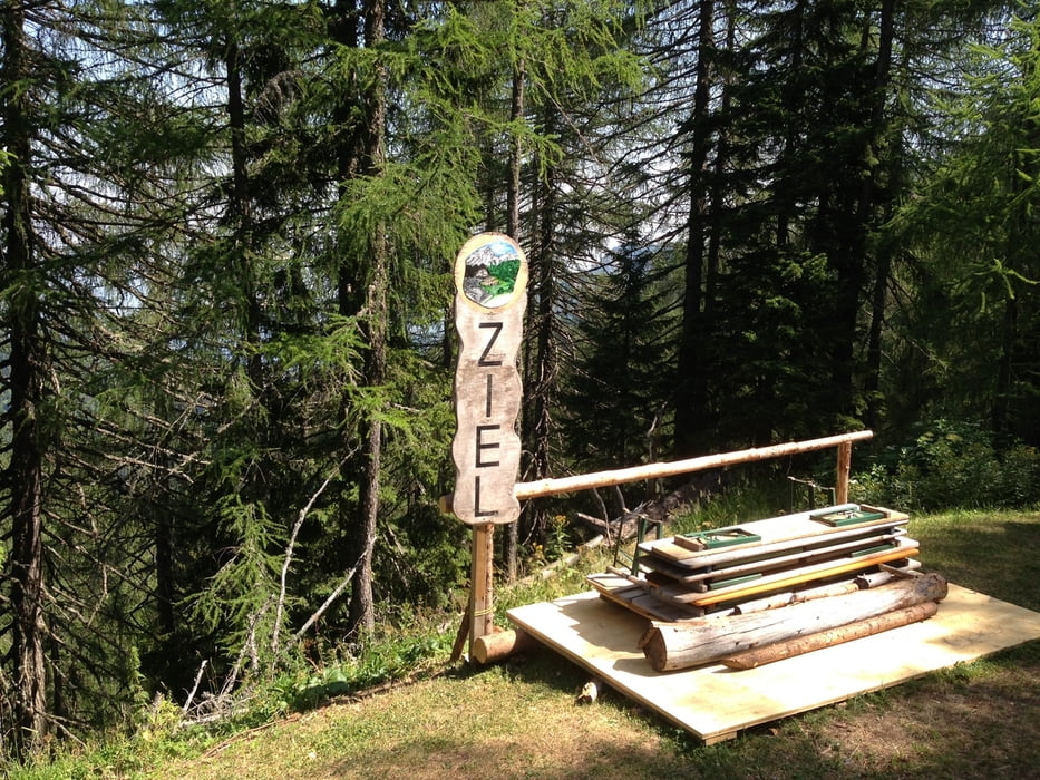
Den Forstweg folgend mit herrlicher Aussicht zum Faakersee zum Platz wo die Annahütte einmal war.


galéria trás

Mapa trasy a výškový profil

  • Open Street Map
  • Google
Minimum height 567 m Maximum height 1557 m Detailný pohľad

More about the tour author

deralex
Member since 2008

Send private message

komentáre

Finkenstein zum Klettergarten Kanzianiberg


GPS trasy

Trackpoints
  • GPX / Garmin Map Source (gpx) download
  • TCX / Garmin Training Center® (tcx) download
  • CRS / Garmin Training Center® (crs) download
  • Google Earth (kml) download
  • G7ToWin (g7t) download
  • TTQV (trk) download
  • Overlay (ovl) download
  • Fugawi (txt) download
  • Kompass (DAV) Track (tk) download
  • list trasy (pdf) download
  • Original file of the author (gpx) download

More about the tour author

deralex
Member since 2008

Send private message
Share track
Add to my favorites
Remove from my favorites
Edit tags
My score
Rate
trasa: Kanzianiberg zur ehemaligen Anna Hütte am Fuße des Mittagskogels
Druh: horský bicykel
Dĺžka: 29,1 km
Evaluated on:
Doba:
Day(s)
Hour(s)
Minute(s)
ohodnotenie: Kraj pôžitok z túry kondícia technika