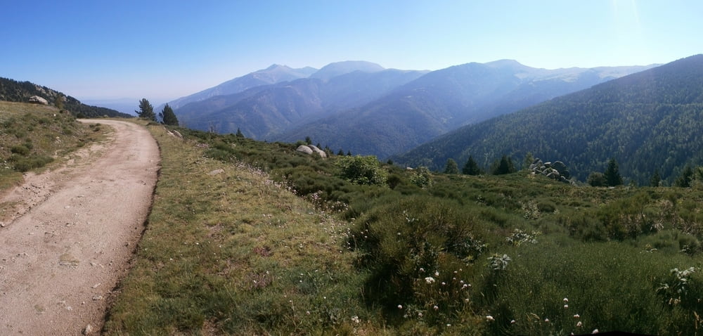
Tour mit viele Höhenmeter, bis der "Col de Mantet" (1760m) alsphatiert, dann eine steinige Piste mit der "refuge da Silva" (1911m). Auf die Piste werden die 2000 Höhenmeter erreicht. Der Aufstieg ist zum aufwärmen bis dem Ortseinfahrt von "Py" einfach, danach ist es bis der Col de Mantet wesentlisch schwieriger. Die Fahrt auf die Piste ist nicht so steil, damit ist es aber wegen viele Steine holprig.
galéria trás
Mapa trasy a výškový profil
Minimum height 450 m
Maximum height 1993 m
komentáre

GPS trasy
Trackpoints-
GPX / Garmin Map Source (gpx) download
-
TCX / Garmin Training Center® (tcx) download
-
CRS / Garmin Training Center® (crs) download
-
Google Earth (kml) download
-
G7ToWin (g7t) download
-
TTQV (trk) download
-
Overlay (ovl) download
-
Fugawi (txt) download
-
Kompass (DAV) Track (tk) download
-
list trasy (pdf) download
-
Original file of the author (gpx) download
Add to my favorites
Remove from my favorites
Edit tags
Open track
My score
Rate

