


Viel Natur und Kultur: Rundkurs Kinding- Freystadt- Beilngries- Kinding
Von Kinding aus fährt man das Schwarzachtal über Greding, Obermässing, Meckenhausen nach Freystadt hinauf, später am RMD Kanal entlang bis Beilngries, ab da die Altmühl aufwärts bis Kinding.
Von Kinding bis zum Kanal fährt man auf asphaltierten Radwegen und Nebenstraßen, ab da größtenteils auf wassergebundenen Wegen. Größere Steigungen gibt es auf dem Rundkurs nicht; Schatten leider auch nicht.
Kinding besitzt einen Bahnhof (Strecke München-Ingolstadt-Nürnberg).
Sehenswert sind:
- Kinding: Wehrkirche 14. Jhd
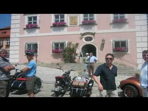
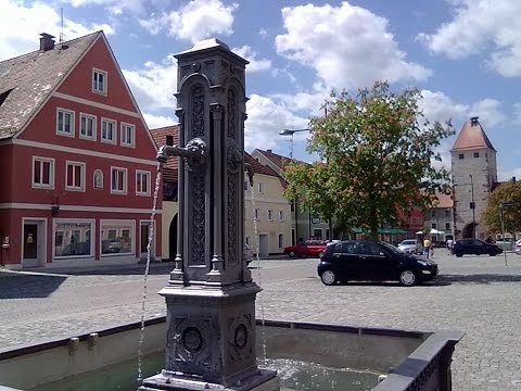
- Greding: Marktplatz, Stadtore, romanische Kirche St. Martin
- Freystadt: Marktstraße mit Stadttoren
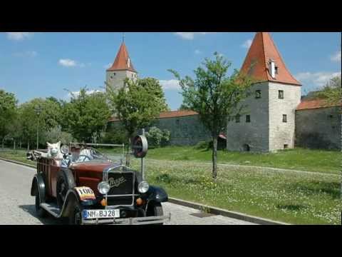
- Berching: Vollständige Stadtmauer, das gesamte Stadtbild.
- Plankstetten: Kloster
- Beilngries: Markt, Schloss Hirschberg
- Kratzmühle: Technikmuseum, Badesee
.
Further information at
http://www.kinding.de/tourismus/galéria trás


Mapa trasy a výškový profil
Minimum height 372 m
Maximum height 432 m
More about the tour author

|
freisnger |
komentáre

GPS trasy
Trackpoints-
GPX / Garmin Map Source (gpx) download
-
TCX / Garmin Training Center® (tcx) download
-
CRS / Garmin Training Center® (crs) download
-
Google Earth (kml) download
-
G7ToWin (g7t) download
-
TTQV (trk) download
-
Overlay (ovl) download
-
Fugawi (txt) download
-
Kompass (DAV) Track (tk) download
-
list trasy (pdf) download
-
Original file of the author (gpx) download
More about the tour author
|
|
freisnger |
Add to my favorites
Remove from my favorites
Edit tags
Open track
My score
Rate