
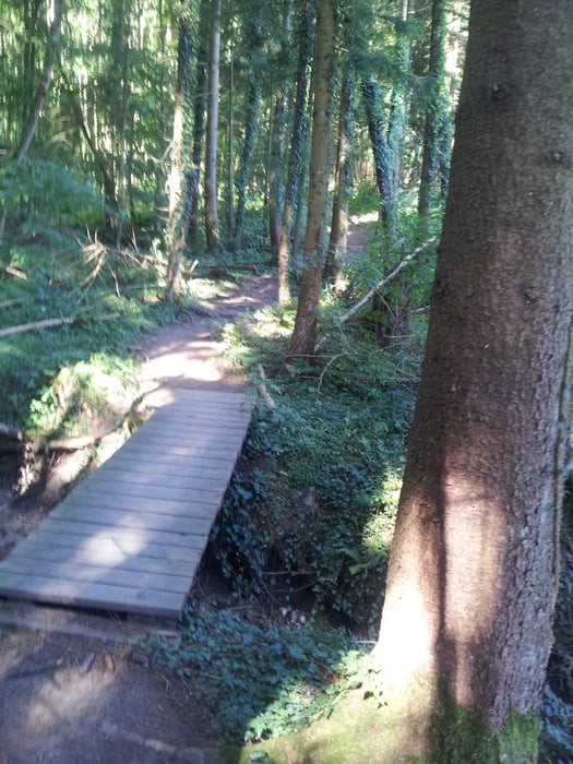

Einiges auf aund ab am Gehrenberg mit immer wieder kleinen Traileinlagen. Achtung: Das Fahren mit dem Bike auf Wegen, die schmäler als 2,5 m sind, ist verboten!
Von Oberteuringen über Stadel gehts raus auf den Premiumwanderweg. Achtung: Hier gibt es häufiger Wanderer. Bitte Rücksicht nehmen und diese umfahren und nciht umfahren!
Es folgt ein kleiner Trail mit einer kurzen Treppe, die man vielleicht nicht unbedingt hochfährt.
Über Gangenweiler nach Obergehrenberg über einige abwechslungsreiche Trails.
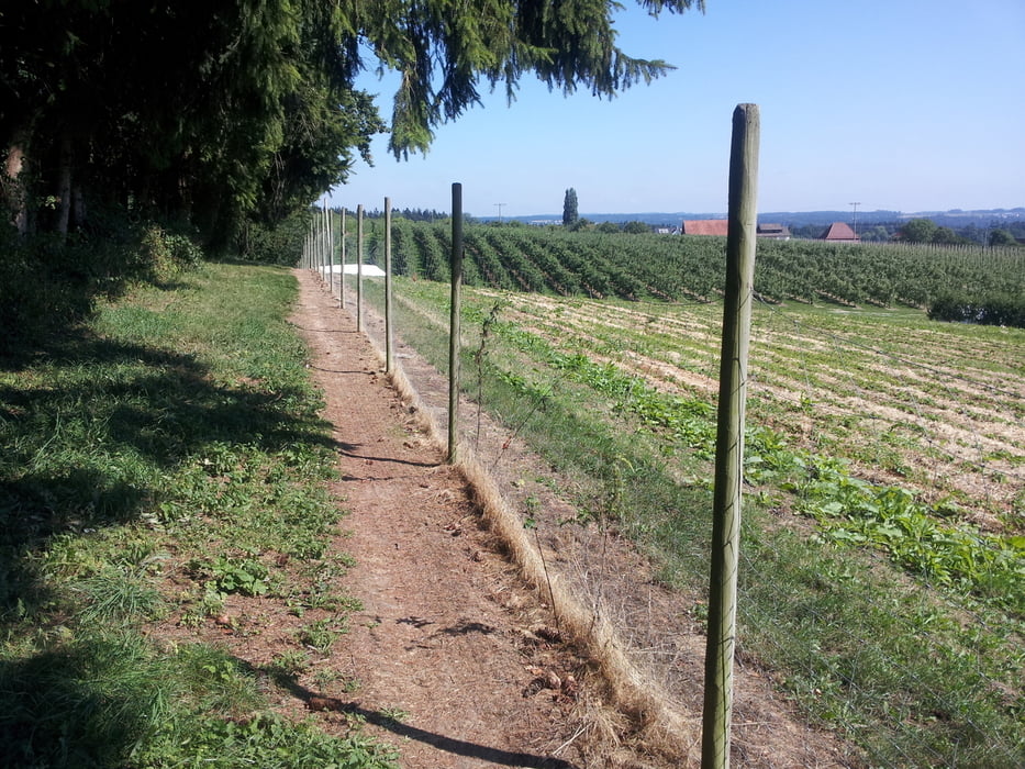
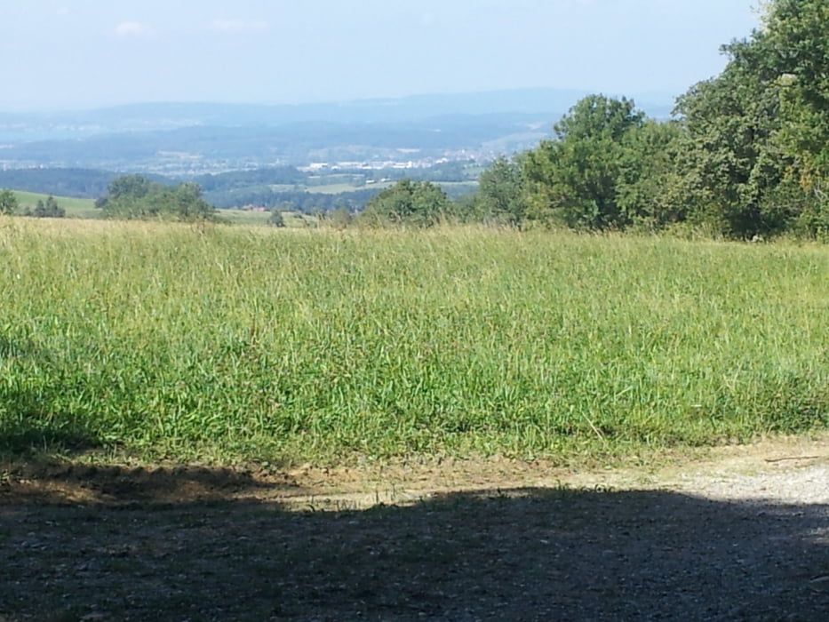
Dann rauf bis zum Aussichtspunkt bei Harresheim und hier am Wegpunkt links abbiegen Uber den Nordgrattrail und dem Sturzhoftrail gehts rüber zur Fläche, auf der der Turm steht.
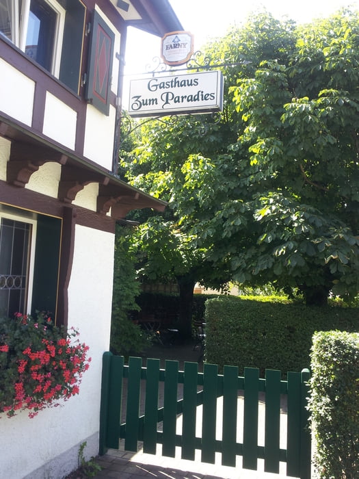
Abwärts bis zum Gasthof Paradies in Möggenweiler. Die bisher sinnvoll verballerten Kalorien kann mir hier wieder durch den Einwurf eines halben Hähnchens mit Pommes nachfüllen.
Dann auf normalen Wegen zurück nach Oberteuringen.
Further information at
http://www.bodensee-landgaenge.de/wanderwege/gehrenberg-guckinsland.htmlgaléria trás

Mapa trasy a výškový profil
Minimum height 495 m
Maximum height 803 m
More about the tour author
|
|
Wayneschlegell |
komentáre

Oberteuringen - City findet doch wohl jeder oder?
GPS trasy
Trackpoints-
GPX / Garmin Map Source (gpx) download
-
TCX / Garmin Training Center® (tcx) download
-
CRS / Garmin Training Center® (crs) download
-
Google Earth (kml) download
-
G7ToWin (g7t) download
-
TTQV (trk) download
-
Overlay (ovl) download
-
Fugawi (txt) download
-
Kompass (DAV) Track (tk) download
-
list trasy (pdf) download
-
Original file of the author (gpx) download
More about the tour author
|
|
Wayneschlegell |
Add to my favorites
Remove from my favorites
Edit tags
Open track
My score
Rate