


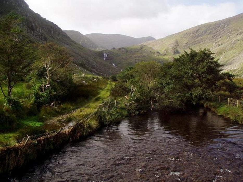
Dies ist die komplette Wanderung. Wer nur einzelne Etappen gehen möchte, macht dies am Besten von Killarney aus nach Glenbeigh (3 Tage) oder von Sneem nach Waterville (Rundkurs ist hier möglich). Übernachtung in B&Bs (siehe Link weiter unten). Nicht alle B&Bs sind direkt am Weg, aber wer dies vorher koordiniert, kann sich von den B&B Gastgebern an bestimmten Punkten abholen/absetzen lassen. Gute Ausrüstung ist absolut notwendig, insbesondere wasserfeste Kleidung/Schuhe. Es regnet häufig! Ansonsten ist die Route leicht zu begehen.
Further information at
http://kerryway.kerry-ireland.com/d/galéria trás


Mapa trasy a výškový profil
Minimum height -21 m
Maximum height 389 m
More about the tour author

|
tigin |
komentáre

Die meisten starten in Killarney (südlicher Stadtausgang). Killarney ist 15 Min. vom Flugplatz in Kerry (Ryanair!) und etwa 3 Std. von Dublin entfernt. Busverbindung über Limerick. Am Ring of Kerry, den man immer mal wieder berührt, fahren ebenfalls Busse.
GPS trasy
Trackpoints-
GPX / Garmin Map Source (gpx) download
-
TCX / Garmin Training Center® (tcx) download
-
CRS / Garmin Training Center® (crs) download
-
Google Earth (kml) download
-
G7ToWin (g7t) download
-
TTQV (trk) download
-
Overlay (ovl) download
-
Fugawi (txt) download
-
Kompass (DAV) Track (tk) download
-
list trasy (pdf) download
-
Original file of the author (gpx) download
More about the tour author
|
|
tigin |
Add to my favorites
Remove from my favorites
Edit tags
Open track
My score
Rate