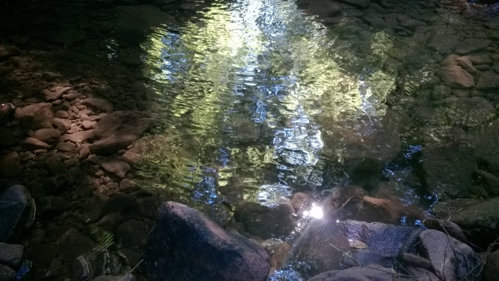
Zuerst geht es entlang der Nagold und dann in das wunderschöne Monbachtal.
Im Monbachtal ist an einigen Stellen etwas unwegsames Gelände (insbesondere, wenn es feucht ist).
Zurück geht es über Waldwege - nicht mehr anspruchsvoll, etwas langweilig -- aber durch das Monbachtal zurück wäre für eine Tageswanderung mit Familie wohl zu lange.
Wanderung ist geeignet für Familien, jedoch nicht für Kinderwagen.
Stichsalbe nicht vergessen! Es gibt genügend Stechmücken.
galéria trás
Mapa trasy a výškový profil
Minimum height 301 m
Maximum height 474 m
komentáre

Start und Ende ist in der Nähe des Bahnhofes von Bad Liebenzell. Dort kann bei den Paracelsus Quellen kostenlos geparkt werden.
GPS trasy
Trackpoints-
GPX / Garmin Map Source (gpx) download
-
TCX / Garmin Training Center® (tcx) download
-
CRS / Garmin Training Center® (crs) download
-
Google Earth (kml) download
-
G7ToWin (g7t) download
-
TTQV (trk) download
-
Overlay (ovl) download
-
Fugawi (txt) download
-
Kompass (DAV) Track (tk) download
-
list trasy (pdf) download
-
Original file of the author (gpx) download
Add to my favorites
Remove from my favorites
Edit tags
Open track
My score
Rate


