Login

Zabudli ste prihlasovacia meno

Cookies have to be accepted!
Your browser's cookie functionality is disabled. Please enable this functionality.

Not a member yet?

Register now
Login

Available for registred users only

Log in to use this feature.

Zabudli ste prihlasovacia meno

Cookies have to be accepted!
Your browser's cookie functionality is disabled. Please enable this functionality.

Not a member yet?

Register now
Filter
Kategórie
Advanced filters
  • Dĺžka (km)
  • výškomer
Uložiť filter Reset filter

TrackRank

QRCode

Technical data

Dĺžka21,4 km výškomer1025 m Way down1014 m Doba03:00 h:m dátum14.09.2013
ohodnotenia Author Kraj pôžitok z túry kondícia technika

štatistika

619 náhľady ohodnotenia 92 Stiahnutia priemer
Rate
  • list trasy
  • príjazd
  • Stiahnutia

Aufstieg: 2 Std.25min.

Abfahrt: 35 min.

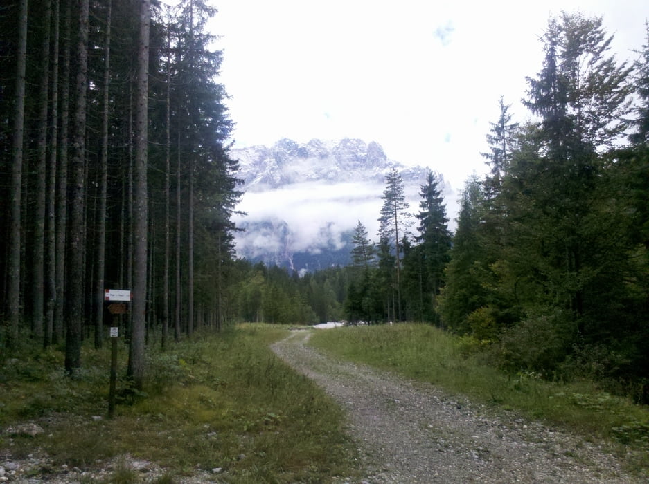
Vom Parkplatz geht es Richtung Valbruna und von  dort ca. 2km ins Tal hinein, wo links eine Schotterstraße bis zur Bergstation  führt (Hinweistafel).

Die Abfahrt geht entlang des "Büßerweges" steil und sehr holprig.

galéria trás

Mapa trasy a výškový profil

  • Open Street Map
  • Google
Minimum height 788 m Maximum height 1793 m Detailný pohľad

More about the tour author

harald07071
Member since 2008

Send private message

komentáre

Von Tarvis Richtung Camporosso kurz vor dem Kreisverkehr Camporosso nach links in die Via Lussari dann weiter ca.300m zum Parkplatz.


GPS trasy

Trackpoints
  • GPX / Garmin Map Source (gpx) download
  • TCX / Garmin Training Center® (tcx) download
  • CRS / Garmin Training Center® (crs) download
  • Google Earth (kml) download
  • G7ToWin (g7t) download
  • TTQV (trk) download
  • Overlay (ovl) download
  • Fugawi (txt) download
  • Kompass (DAV) Track (tk) download
  • list trasy (pdf) download
  • Original file of the author (gpx) download

More about the tour author

harald07071
Member since 2008

Send private message
Share track
Add to my favorites
Remove from my favorites
Edit tags
My score
Rate
trasa: Monte Lussari (1.789 m)
Druh: horský bicykel
Dĺžka: 21,4 km
Evaluated on:
Doba:
Day(s)
Hour(s)
Minute(s)
ohodnotenie: Kraj pôžitok z túry kondícia technika