
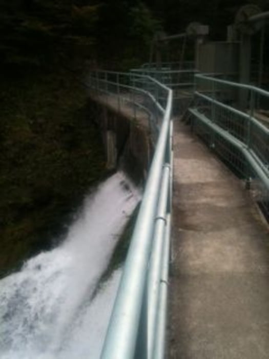

Die Tour habe ich gestartet im Tannheimer Tal am Hotel Tyrol www.tyrol-haldensee.com/. Von dort ging es Richtung Grän, Höhenweg nach Tannheim dort ging es weiter Richtung Zöblen. Von dort weiter nach Schattwald. An der Talsperre wird die Brücke überquert und es geht weiter Richtung Pfronten durch das Vils Tal. Dort kommt die erste Einkehrmöglichkeit. Von dort den Weg weiter bis das Schil kommt Edelsberg dann geht es nach oben. Es kommt ein langer Anstieg der am Ende belohnt wird mit der schönen Aussicht. Dann geht es Berg ab Richtung Pfronten, an der Vils wieder angekommen geht es auch bald wieder Berg rauf aufs Himmelreich. Oben angekommen kann man rechts auf die Beermoosalm weiter oder die Abfahrt ins Tal nehmen. Abfahrt wird ausgeschildet als Schiebepassage ist aber fahrbar. Unten angekommen geht es rechts wieder ins Tannheimer Tal.
Mapa trasy a výškový profil
Minimum height 896 m
Maximum height 1527 m
More about the tour author
|
|
DP3008 |
komentáre

GPS trasy
Trackpoints-
GPX / Garmin Map Source (gpx) download
-
TCX / Garmin Training Center® (tcx) download
-
CRS / Garmin Training Center® (crs) download
-
Google Earth (kml) download
-
G7ToWin (g7t) download
-
TTQV (trk) download
-
Overlay (ovl) download
-
Fugawi (txt) download
-
Kompass (DAV) Track (tk) download
-
list trasy (pdf) download
-
Original file of the author (gpx) download
More about the tour author
|
|
DP3008 |
Add to my favorites
Remove from my favorites
Edit tags
Open track
My score
Rate