Login

Zabudli ste prihlasovacia meno

Cookies have to be accepted!
Your browser's cookie functionality is disabled. Please enable this functionality.

Not a member yet?

Register now
Login

Available for registred users only

Log in to use this feature.

Zabudli ste prihlasovacia meno

Cookies have to be accepted!
Your browser's cookie functionality is disabled. Please enable this functionality.

Not a member yet?

Register now
Filter
Kategórie
Advanced filters
  • Dĺžka (km)
  • výškomer
Uložiť filter Reset filter

TrackRank

QRCode

Technical data

Dĺžka17,5 km výškomer138 m Way down139 m Doba02:00 h:m dátum03.10.2013
ohodnotenia Author Kraj pôžitok z túry kondícia technika

štatistika

276 náhľady ohodnotenia 32 Stiahnutia priemer
Rate
  • list trasy
  • príjazd
  • Stiahnutia


 nach Wanderführer ROTHER       ISBN 978-3-7633-4371-3

 blau 20

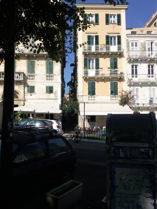
Ausgangspunk: Kerkyra  ,die Tour beginnt nicht wie im Buch beschriebe, wir haben auf ein kostenlosen Parkplatz gestanden.

In der Altstadt  sollte man sich Zeit nehmen, um sie zu entdecken

galéria trás

Mapa trasy a výškový profil

  • Open Street Map
  • Google
Minimum height -5 m Maximum height 30 m Detailný pohľad

More about the tour author

scholle-d
Member since 2011

Send private message

komentáre

GPS trasy

Trackpoints
  • GPX / Garmin Map Source (gpx) download
  • TCX / Garmin Training Center® (tcx) download
  • CRS / Garmin Training Center® (crs) download
  • Google Earth (kml) download
  • G7ToWin (g7t) download
  • TTQV (trk) download
  • Overlay (ovl) download
  • Fugawi (txt) download
  • Kompass (DAV) Track (tk) download
  • list trasy (pdf) download
  • Original file of the author (gpx) download

More about the tour author

scholle-d
Member since 2011

Send private message
Share track
Add to my favorites
Remove from my favorites
Edit tags
My score
Rate
trasa: Inselhauptstadt Kerkyra
Druh: beh
Dĺžka: 17,5 km
Evaluated on:
Doba:
Day(s)
Hour(s)
Minute(s)
ohodnotenie: Kraj pôžitok z túry kondícia technika