
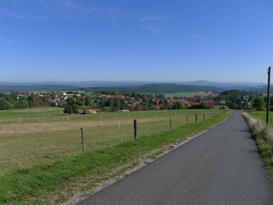

Los geht´s in Schmalkalden an der Mehrzweckhalle. Zum "warmfahren" geht es auf dem Radweg erstmal bis Wasungen. Jetzt geht die Tour Richtung Röhn. Obwohl, laut Karte, ausgewiesene Wege wird es teilweise technisch anspruchsvoll (verwildert mit steilen Abfahrten). Wer das nicht will kann sich auch eine andere Route bis Oepfershausen suchen. Ab hier beginnt die steile Auffahrt zum Amöenhof. Tolle Aussicht zum Rennsteig. Weiter zur Hohen Löhr, auch mit toller Aussicht in die Röhn. Von hier ist es nicht mehr weit bis auf die Hohe Geba.
Ich hab die leichte Route zurück gewählt, Stepfershausen-Walldorf-Werratalradweg.
Auf Teilstücken zwischen Wasungen und Oepfershausen sollte man mit dem MTB ene gewisse Erfahrung haben ...
Einkehrmöglichkeiten: Amöhenhof, Hohe Geba.
Further information at
http://www.hohe-geba.de/galéria trás


Mapa trasy a výškový profil
Minimum height 257 m
Maximum height 754 m
More about the tour author
|
|
bike_man001 |
komentáre

GPS trasy
Trackpoints-
GPX / Garmin Map Source (gpx) download
-
TCX / Garmin Training Center® (tcx) download
-
CRS / Garmin Training Center® (crs) download
-
Google Earth (kml) download
-
G7ToWin (g7t) download
-
TTQV (trk) download
-
Overlay (ovl) download
-
Fugawi (txt) download
-
Kompass (DAV) Track (tk) download
-
list trasy (pdf) download
-
Original file of the author (gpx) download
More about the tour author
|
|
bike_man001 |
Add to my favorites
Remove from my favorites
Edit tags
Open track
My score
Rate