Login

Zabudli ste prihlasovacia meno

Cookies have to be accepted!
Your browser's cookie functionality is disabled. Please enable this functionality.

Not a member yet?

Register now
Login

Available for registred users only

Log in to use this feature.

Zabudli ste prihlasovacia meno

Cookies have to be accepted!
Your browser's cookie functionality is disabled. Please enable this functionality.

Not a member yet?

Register now
Filter
Kategórie
Advanced filters
  • Dĺžka (km)
  • výškomer
Uložiť filter Reset filter

TrackRank

QRCode

Technical data

Dĺžka4,0 km výškomer950 m Way down m Doba02:00 h:m dátum16.12.2007
ohodnotenia Author Kraj pôžitok z túry kondícia technika

štatistika

1703 náhľady ohodnotenia 172 Stiahnutia priemer
Rate
  • list trasy
  • príjazd
  • Stiahnutia
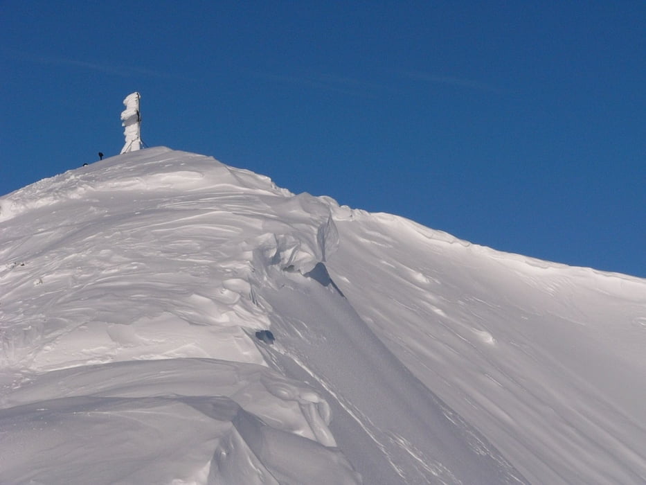
Der Gamsknogel wird Südseitig bestiegen, am besten nach Neuschnee. Es bedarf schon einiges an Schnee, da sich 60% der Tour im lichten Wald befinden. Der Gipfelhang ist bei Neuschnee Traumhaft. Ausgangspunkt dieser Tour ist der Wanderparkplatz Jochberg.

galéria trás

Mapa trasy a výškový profil

  • Open Street Map
  • Google
Minimum height 846 m Maximum height 1756 m Detailný pohľad

More about the tour author

sigi mitteregger
Member since 2004

Send private message

komentáre

GPS trasy

Trackpoints
  • GPX / Garmin Map Source (gpx) download
  • TCX / Garmin Training Center® (tcx) download
  • CRS / Garmin Training Center® (crs) download
  • Google Earth (kml) download
  • G7ToWin (g7t) download
  • TTQV (trk) download
  • Overlay (ovl) download
  • Fugawi (txt) download
  • Kompass (DAV) Track (tk) download
  • list trasy (pdf) download
  • Original file of the author (g7t) download

More about the tour author

sigi mitteregger
Member since 2004

Send private message
Share track
Add to my favorites
Remove from my favorites
Edit tags
My score
Rate
trasa: Gamsknogel
Druh: lyže
Dĺžka: 4,0 km
Evaluated on:
Doba:
Day(s)
Hour(s)
Minute(s)
ohodnotenie: Kraj pôžitok z túry kondícia technika