
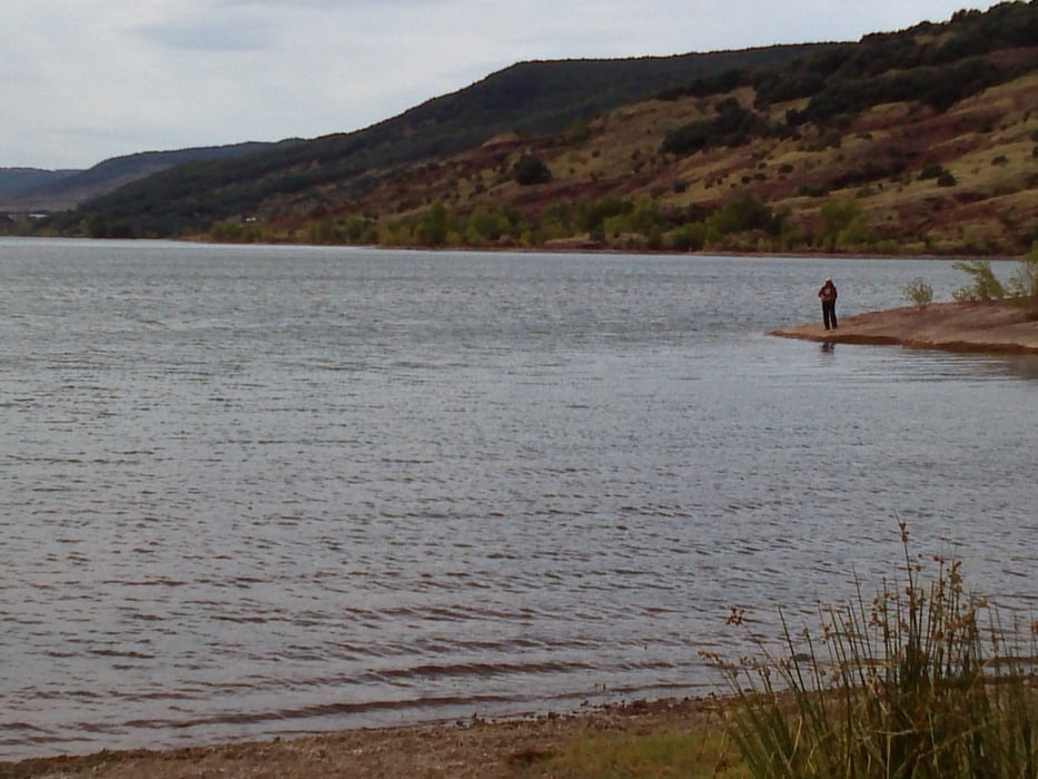

Diese Tour ist eine geringfügig modifizierte Strecke, die Konabiker in einem anderen Forum beschrieben hat. Sie startet in Les Vailhes am Nordufer des Lac du Salagou. Zunächst geht es direkt am Seeufer Richtung Osten. Die schmalen Trails über rostroten Stein und Sand sind fantastisch zu fahren. Eine kurze aber steile Schiebepassage bringt uns auf ein höher gelegenes schmales Sträßchen, das uns anschließend nach Clermond-l'Herault führt. In einem großen Bogen umfahren wir das Südufer des Sees, um schließlich zum malerischen Ort Moureze und dem spektakulären Cirque de Moureze zu kommen. Von diesem kleinen Ort führt ein ausgeschilderter Weg durch das Labyrinth von Kalksteinfelsen. In dem kleinen Örtchen sarlasc biegen wir wieder in Richtung Stausee ab. Sobald wir den See erreicht haben, beginnt wieder der traumhafte Trail auf rostrotem Stein, der uns schließlich wieder zum Ausgangspunkt zurück führt.
galéria trás


Mapa trasy a výškový profil
Minimum height 90 m
Maximum height 266 m
More about the tour author
|
|
mtb-urach |
komentáre

GPS trasy
Trackpoints-
GPX / Garmin Map Source (gpx) download
-
TCX / Garmin Training Center® (tcx) download
-
CRS / Garmin Training Center® (crs) download
-
Google Earth (kml) download
-
G7ToWin (g7t) download
-
TTQV (trk) download
-
Overlay (ovl) download
-
Fugawi (txt) download
-
Kompass (DAV) Track (tk) download
-
list trasy (pdf) download
-
Original file of the author (gpx) download
More about the tour author
|
|
mtb-urach |
Add to my favorites
Remove from my favorites
Edit tags
Open track
My score
Rate