
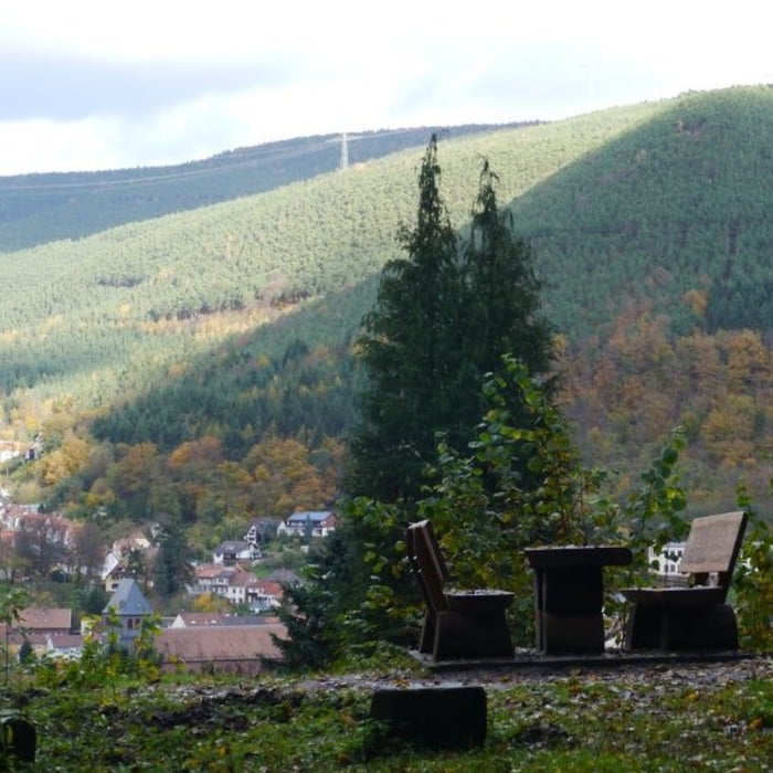

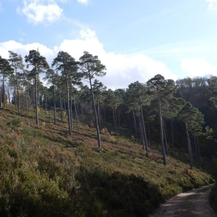
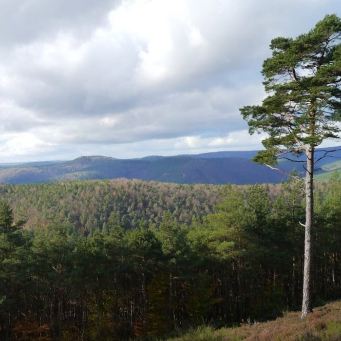
Die Tour startet beim Lambrechter Gäsbock und führt am Friedhof vorbei zur eigentlichen Wanderstrecke. Die komplette Wanderung verläuft sowohl auf gut ausgebauten Forstwirtschaftswegen als auch sehr schönen Waldpfaden. Entsprechend der ursprünglichen Planung sollte es zunächst hoch zum dicken Stein gehen, da der Einstieg in den Pfad jedoch übersehen wurde, ging es am Saum des Waldes Richtung Schiessanlage und von dort hoch zum Runden Tisch. Diese Stecke war etwas länger, dafür jedoch nicht so steil. Ab dem Kaisergarten, dem höchsten Punkt dieser Wanderung ging es kontinuierlich bergab bis zum Naturfreundehaus Heidenbrunnertal. Der Weg zurück nach Lambrecht verläuft bis zu einer Kuppe von ca 380 stetig bergauf und anschließend wieder hinunter nach Lambrecht.
galéria trás


Mapa trasy a výškový profil
Minimum height 166 m
Maximum height 519 m
More about the tour author

|
isg13 |
komentáre

GPS trasy
Trackpoints-
GPX / Garmin Map Source (gpx) download
-
TCX / Garmin Training Center® (tcx) download
-
CRS / Garmin Training Center® (crs) download
-
Google Earth (kml) download
-
G7ToWin (g7t) download
-
TTQV (trk) download
-
Overlay (ovl) download
-
Fugawi (txt) download
-
Kompass (DAV) Track (tk) download
-
list trasy (pdf) download
-
Original file of the author (gpx) download
More about the tour author
|
|
isg13 |
Add to my favorites
Remove from my favorites
Edit tags
Open track
My score
Rate