Login

Zabudli ste prihlasovacia meno

Cookies have to be accepted!
Your browser's cookie functionality is disabled. Please enable this functionality.

Not a member yet?

Register now
Login

Available for registred users only

Log in to use this feature.

Zabudli ste prihlasovacia meno

Cookies have to be accepted!
Your browser's cookie functionality is disabled. Please enable this functionality.

Not a member yet?

Register now
Filter
Kategórie
Advanced filters
  • Dĺžka (km)
  • výškomer
Uložiť filter Reset filter

TrackRank

QRCode

Technical data

Dĺžka47,3 km výškomer1836 m Way down1833 m Doba04:00 h:m dátum24.11.2013
ohodnotenia Author Kraj pôžitok z túry kondícia technika

štatistika

944 náhľady ohodnotenia 119 Stiahnutia priemer
Rate
  • list trasy
  • príjazd
  • Stiahnutia
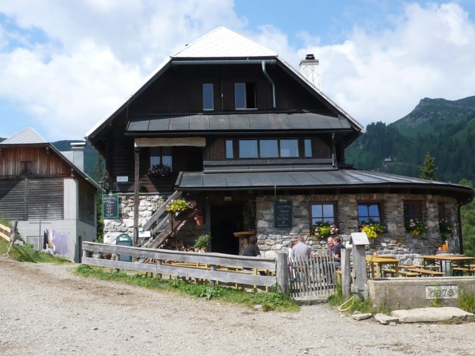
Über die Bundesstraße auf das Naßfled, auf die Tresdorferhöhe wird's richtig steil, anschließen zur Tröpolacher Alm, da schmeckt das Bier auf der Rattensorfer Alm - Schöne Runde

galéria trás

Mapa trasy a výškový profil

  • Open Street Map
  • Google
Minimum height 589 m Maximum height 1891 m Detailný pohľad

More about the tour author

jamba
Member since 2009

Send private message

komentáre

GPS trasy

Trackpoints
  • GPX / Garmin Map Source (gpx) download
  • TCX / Garmin Training Center® (tcx) download
  • CRS / Garmin Training Center® (crs) download
  • Google Earth (kml) download
  • G7ToWin (g7t) download
  • TTQV (trk) download
  • Overlay (ovl) download
  • Fugawi (txt) download
  • Kompass (DAV) Track (tk) download
  • list trasy (pdf) download
  • Original file of the author (gpx) download

More about the tour author

jamba
Member since 2009

Send private message
Share track
Add to my favorites
Remove from my favorites
Edit tags
My score
Rate
trasa: über Naßfeld, Tröpolachalm zur Rattensdorfer Alm
Druh: horský bicykel
Dĺžka: 47,3 km
Evaluated on:
Doba:
Day(s)
Hour(s)
Minute(s)
ohodnotenie: Kraj pôžitok z túry kondícia technika