


Nette kleine Wanderung im Thüringer Wald.
Von dem schönen Wanderparkplatz führt eine schmale Straße sanft ansteigend nach Norden.
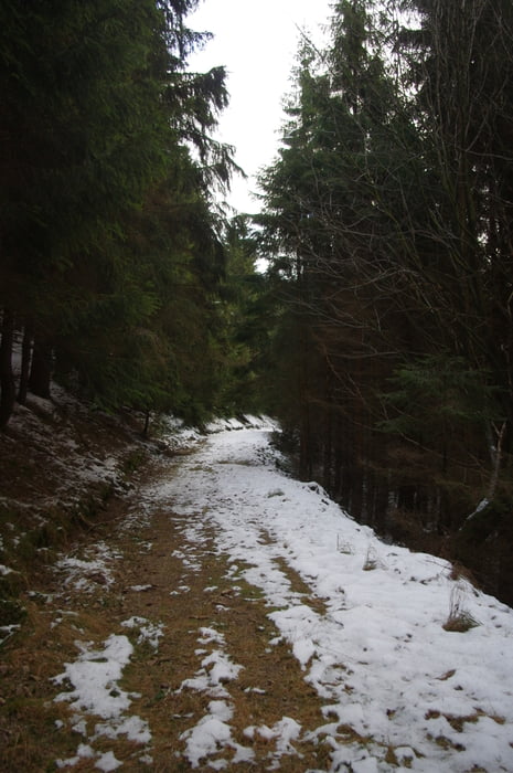
Ich folgte der Lubenbachstraße bis sie die Bahntrasse unterquerte. Danach bog ich hinter dem Gehöft auf einen Feldweg ein der in den Wald führte. Bald war der Weg nur noch für Fußgänger geeignet. Das Wasser hat ihn ziemlich ausgewaschen.
Nach einer Kehre passierte ich einen schönen Felsen der leider eingezäunt ist. Von der gegenüberliegenden Talseite bekam ich einen guten Blick. Die Form entsprach fast dem El Cap. Nur die Größe ist bescheidener.
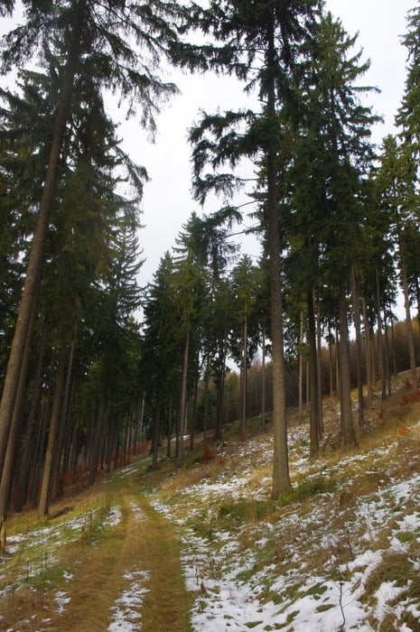
Ich folgte weiter den Wegen am Hang und erreichte so nach einem kleinen Abstieg einen Feldweg der mich an der Anschlussstelle der Autobahn vorbeiführte. Ich bog am tiefsten Punkt in den Ort nach rechts ab und erreichte bald darauf den Ausgangspunkt.
Further information at
https://de.wikipedia.org/wiki/Zella-Mehlisgaléria trás
Mapa trasy a výškový profil
Minimum height 554 m
Maximum height 748 m
More about the tour author
|
|
Pheinz |
komentáre

Wanderparkplatz gleichbei der Autobahnabfahrt.
GPS trasy
Trackpoints-
GPX / Garmin Map Source (gpx) download
-
TCX / Garmin Training Center® (tcx) download
-
CRS / Garmin Training Center® (crs) download
-
Google Earth (kml) download
-
G7ToWin (g7t) download
-
TTQV (trk) download
-
Overlay (ovl) download
-
Fugawi (txt) download
-
Kompass (DAV) Track (tk) download
-
list trasy (pdf) download
-
Original file of the author (gpx) download
More about the tour author
|
|
Pheinz |
Add to my favorites
Remove from my favorites
Edit tags
Open track
My score
Rate