
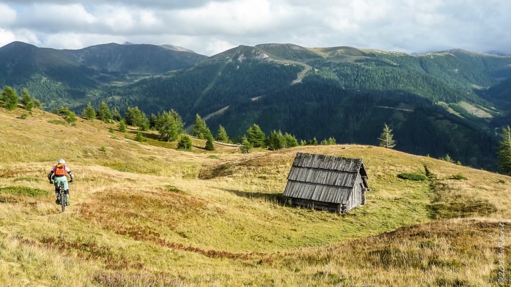

Start ist an der Kreuzung zur Nockalmstraße in Innerkrems, von dort geht es auf breiten Forstwegen mit gemütlich mit hin und wieder einer kleiner Rampe hinauf zur Blutigen Alm.
Kurz vor der Blutigen Alm wird der Weg schwerer, weil etwas ausgewaschen.
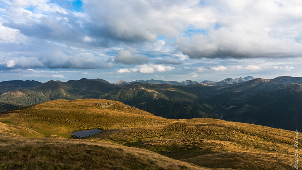
An der Blutigen Alm vorbei einige 100m auf Wiesentrail bis man wieder auf einem Forstweg kommt. diesem folgen bis zum westlichsten Punkt des Tracks.
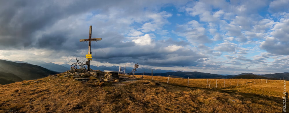
Dort geht es auf einer kleinen kaum deutlichen Pfadspur zum Gipfel der Gaipahöhe, teiles schiebend, teils tragend, sind aber nur knapp 100Hm.
Die ganze Zeit hat man schon Ausblick auf die Nockberge im Süden, am Gipfel öffnet sich nun auch der Ausblick nach Westen und Norden - Genial
Ab hier beginnt der Spaß - 100% Singletrail bis ins Tal, alles fahrbar - einzig die vielen Weidezäune und Gatter unterbrechen den Flow.
Viel Spaß
galéria trás
Mapa trasy a výškový profil
Minimum height 1458 m
Maximum height 2187 m
More about the tour author

|
diax |
komentáre

GPS trasy
Trackpoints-
GPX / Garmin Map Source (gpx) download
-
TCX / Garmin Training Center® (tcx) download
-
CRS / Garmin Training Center® (crs) download
-
Google Earth (kml) download
-
G7ToWin (g7t) download
-
TTQV (trk) download
-
Overlay (ovl) download
-
Fugawi (txt) download
-
Kompass (DAV) Track (tk) download
-
list trasy (pdf) download
-
Original file of the author (gpx) download
More about the tour author
|
|
diax |
Add to my favorites
Remove from my favorites
Edit tags
Open track
My score
Rate