

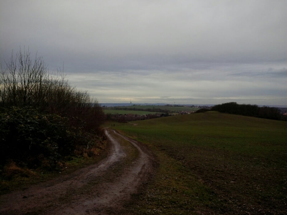
die tour ist in dieser jahreszeit am besten zu machen. man hat eh wenig weitblick und bei der jahreszeit kommen die trails ganz gut. auch wenn es wenig sind. desweiteren ist in der jahreszeit nicht so viel puplikum unterwegs.
ich bin in strießen los. aber die eigentliche tour beginnt am schillerplatz. zum einstrampeln die grundstraße hoch und dann raus aus dresden. zwischen dresden und schullwitz folgt man einem zum radweg umgebauten bahndamm. dann geht es offroad zum napoleonstein.
über weißig in die heide und dann immer der prießnitz entlang bis zum alaunpark. ab dann wieder zivilisation ;-) dann gemütlich zurück auf die altstadtseite und meine tour endete am neumarkt. wer am schillerplatz losfährt, kann auch am elbufer zurück.
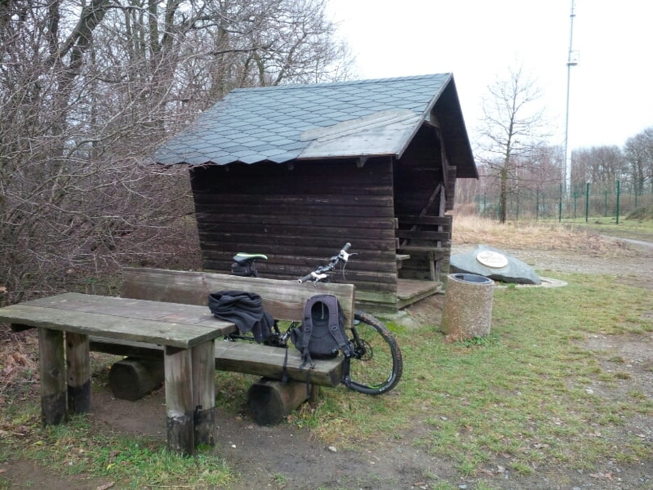
einkehrmöglichkeiten gibt es auch. z. b. die heidemühle.
galéria trás

Mapa trasy a výškový profil
Minimum height 104 m
Maximum height 344 m
More about the tour author
|
|
chris_dd |
komentáre

am schillerplatz kann man gut parken oder mit der bahn anreisen ;-)
GPS trasy
Trackpoints-
GPX / Garmin Map Source (gpx) download
-
TCX / Garmin Training Center® (tcx) download
-
CRS / Garmin Training Center® (crs) download
-
Google Earth (kml) download
-
G7ToWin (g7t) download
-
TTQV (trk) download
-
Overlay (ovl) download
-
Fugawi (txt) download
-
Kompass (DAV) Track (tk) download
-
list trasy (pdf) download
-
Original file of the author (gpx) download
More about the tour author
|
|
chris_dd |
Add to my favorites
Remove from my favorites
Edit tags
Open track
My score
Rate