


Zunächst der Hinweis, dass es sich bei der angegebenen Zeit um reine Gehzeiten ohne Pausen handelt. Diese müssen separat hinzugerechnet werden!!
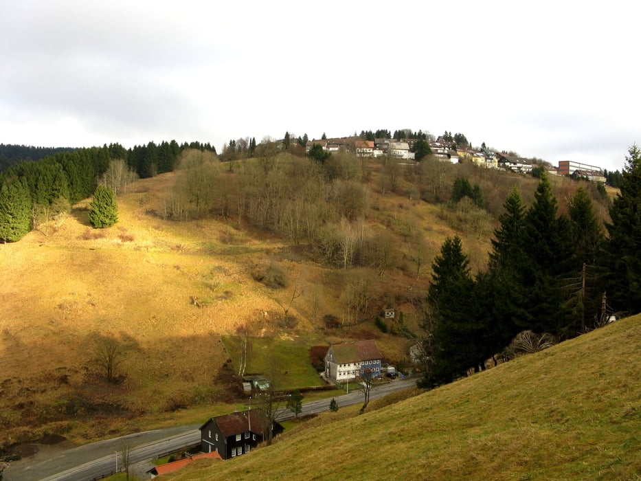
Diese Wanderung ist landschaftlich sehr reizvoll und kann auch als Nordic-Walking Route empfohlen werden, da viele Panorama- Höhenwege zu verzeichnen sind! Auf der Web-Site wird die Route als "Höhenweg rund um die Bergstadt" mit entsprechender schwarzer Markierung beworben!
Further information at
http://www.oberharz.de/sankt-andreasberg.1.htmlgaléria trás


Mapa trasy a výškový profil
Minimum height 533 m
Maximum height 720 m
More about the tour author

|
asbach63 |
komentáre

- von Bad Harzburg auf der B4 in Richtung Braunlage
- nach ca. 16km rechts abbiegen auf B242 in Richtung Clausthal- Zellerfeld
- nach 2,8 km in Sonnenberg links abbiegen in Richtung St. Andreasberg
- für 5km weiter auf L519 bis zum Ortseingang
- rechts abbiegen in die Straße "Hoher Weg!
GPS trasy
Trackpoints-
GPX / Garmin Map Source (gpx) download
-
TCX / Garmin Training Center® (tcx) download
-
CRS / Garmin Training Center® (crs) download
-
Google Earth (kml) download
-
G7ToWin (g7t) download
-
TTQV (trk) download
-
Overlay (ovl) download
-
Fugawi (txt) download
-
Kompass (DAV) Track (tk) download
-
list trasy (pdf) download
-
Original file of the author (gpx) download
More about the tour author
|
|
asbach63 |
Add to my favorites
Remove from my favorites
Edit tags
Open track
My score
Rate