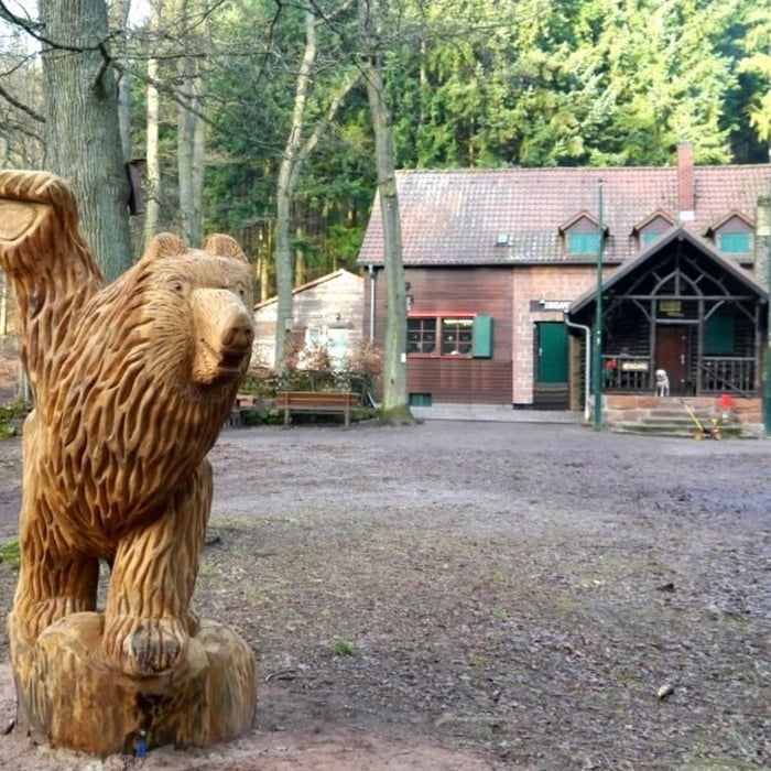
Startpunkt der Tour ist ein Parkplatz in der Nähe des Dernbacher Haus. Die Strecke verläuft weitgehend auf gut ausgebauten Forstwirtschaft Wegen und führt zunächst oberhalb der Orte Dernbach und Ramberg. Nach einer Spitzkehre geht es dann parallel zur gegangenen Strecke wieder zurück und hoch zur Burgruine Neuscharfeneck, die auch aufgrund des schönen Ausblicks besucht werden sollte. Von dort geht es anschließend weiter zur Landauer Hütte und Dernbacher Haus, die beide guter Pfälzer Küche an bieten.
galéria trás
Mapa trasy a výškový profil
Minimum height 194 m
Maximum height 501 m
komentáre

GPS trasy
Trackpoints-
GPX / Garmin Map Source (gpx) download
-
TCX / Garmin Training Center® (tcx) download
-
CRS / Garmin Training Center® (crs) download
-
Google Earth (kml) download
-
G7ToWin (g7t) download
-
TTQV (trk) download
-
Overlay (ovl) download
-
Fugawi (txt) download
-
Kompass (DAV) Track (tk) download
-
list trasy (pdf) download
-
Original file of the author (gpx) download
Add to my favorites
Remove from my favorites
Edit tags
Open track
My score
Rate


