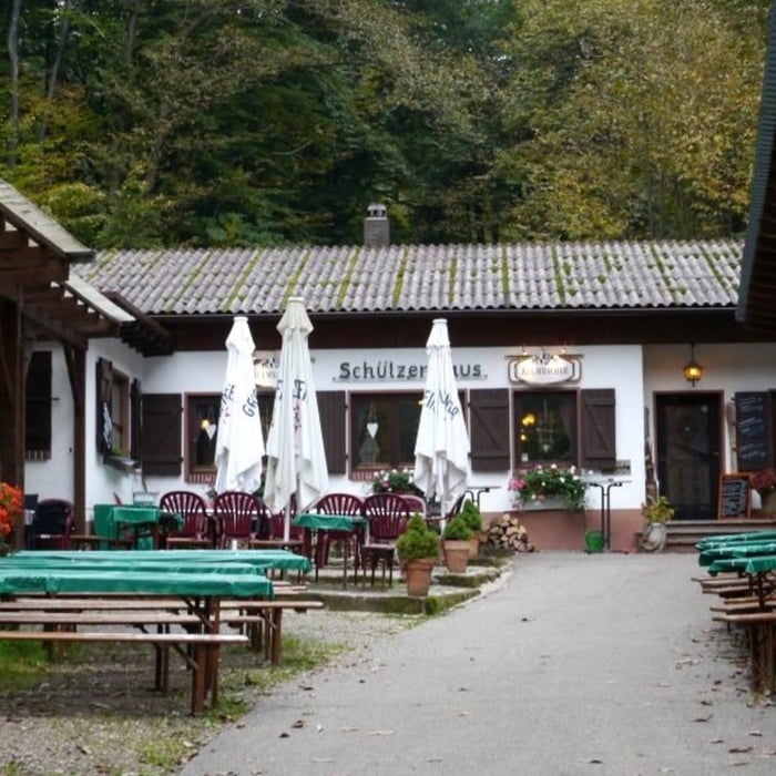
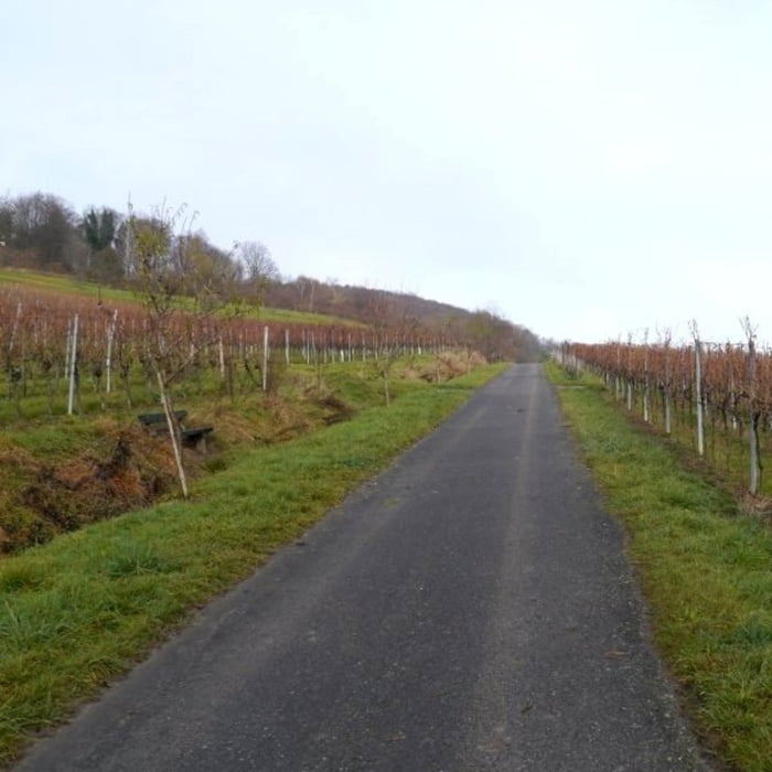
Startpunkt der Tour ist der Parkplatz beim Schützenhaus Oberotterbach. Die Strecke führt zunächst zurück durch Oberotterbach und anschließend oberhalb der Weinberge zum Fußballplatz bei Dörrenbach. Von dort geht es bergauf zur Schutzhütte Dreibuchen und um den Hohenberg wieder zurück zum Schützenhaus.
galéria trás
Mapa trasy a výškový profil
Minimum height 185 m
Maximum height 426 m
komentáre

GPS trasy
Trackpoints-
GPX / Garmin Map Source (gpx) download
-
TCX / Garmin Training Center® (tcx) download
-
CRS / Garmin Training Center® (crs) download
-
Google Earth (kml) download
-
G7ToWin (g7t) download
-
TTQV (trk) download
-
Overlay (ovl) download
-
Fugawi (txt) download
-
Kompass (DAV) Track (tk) download
-
list trasy (pdf) download
-
Original file of the author (gpx) download
Add to my favorites
Remove from my favorites
Edit tags
Open track
My score
Rate


