


Auf den Moritzberg -
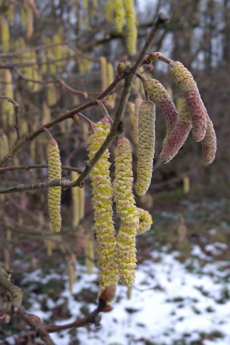
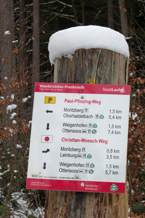
diese kurze, im Anstieg auf den Moritzberg steile, Wanderung beginne ich am S-Bahnhof Ottensoos. Der Markierung Rot-Punkt folge ich, durch den ruhigen Ort Weigenhofen, bis auf den Gipfel. Natürlich gibt es eine gemütliche Gipfelrast im kleinen und heimeligen Wirtshaus. Zurück zur S-Bahnstation Röthenbach-Seespitze bringt mich die Grün-Strich Markierung. Dieser zweite Teil der Wanderung ist ideal für Leute welche eine ausgiebige Gipfelrast hatten - es geht, ohne große Anstrengung, nur noch bergab bis zum Bahnhof.
galéria trás


Mapa trasy a výškový profil
Minimum height 303 m
Maximum height 604 m
More about the tour author

|
komentáre

GPS trasy
Trackpoints-
GPX / Garmin Map Source (gpx) download
-
TCX / Garmin Training Center® (tcx) download
-
CRS / Garmin Training Center® (crs) download
-
Google Earth (kml) download
-
G7ToWin (g7t) download
-
TTQV (trk) download
-
Overlay (ovl) download
-
Fugawi (txt) download
-
Kompass (DAV) Track (tk) download
-
list trasy (pdf) download
-
Original file of the author (gpx) download
More about the tour author
|
|
Add to my favorites
Remove from my favorites
Edit tags
Open track
My score
Rate