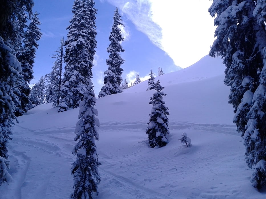
Wunderbarer Aufstieg durch den Wald. In Gipfelnähe gewaltiger Fönsturm. Tolle Abfahrt bis zur Sattelberger Alm, viel Pulver! Die Alm ist auch sehr zu empfehlen.
Eine Tour, die auch bei prekären Schneeverhältnissen möglich ist.
galéria trás
Mapa trasy a výškový profil
Minimum height 1177 m
Maximum height 2123 m
komentáre

Start in Gries am Brenner. Parkplatzgebühr!
GPS trasy
Trackpoints-
GPX / Garmin Map Source (gpx) download
-
TCX / Garmin Training Center® (tcx) download
-
CRS / Garmin Training Center® (crs) download
-
Google Earth (kml) download
-
G7ToWin (g7t) download
-
TTQV (trk) download
-
Overlay (ovl) download
-
Fugawi (txt) download
-
Kompass (DAV) Track (tk) download
-
list trasy (pdf) download
-
Original file of the author (gpx) download
Add to my favorites
Remove from my favorites
Edit tags
Open track
My score
Rate


