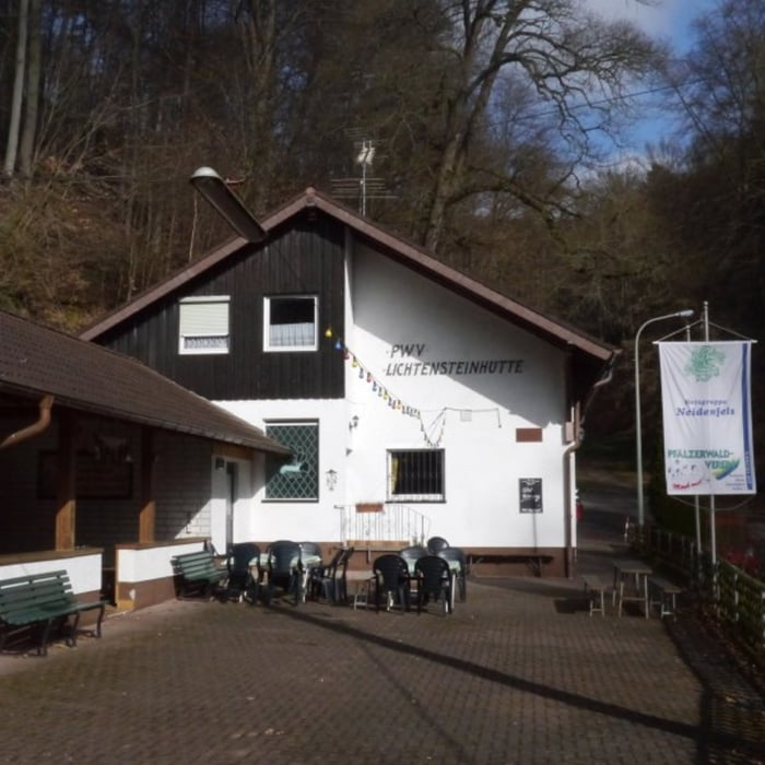
Startpunkt der Tour ist ein Parkplatz direkt bei der Lichtensteinhütte. Die Wanderung führt zunächst oberhalb des Hochspeyerbachs um den Eichelberg bis Lambrech, bevor es anschließend das Luhrbachtal hoch zum höchsten Punkt geht. Zurück zur Lichtensteinhütte geht danach wieder kontinuierlich bergab.
galéria trás
Mapa trasy a výškový profil
Minimum height 175 m
Maximum height 499 m
komentáre

GPS trasy
Trackpoints-
GPX / Garmin Map Source (gpx) download
-
TCX / Garmin Training Center® (tcx) download
-
CRS / Garmin Training Center® (crs) download
-
Google Earth (kml) download
-
G7ToWin (g7t) download
-
TTQV (trk) download
-
Overlay (ovl) download
-
Fugawi (txt) download
-
Kompass (DAV) Track (tk) download
-
list trasy (pdf) download
-
Original file of the author (gpx) download
Add to my favorites
Remove from my favorites
Edit tags
Open track
My score
Rate


