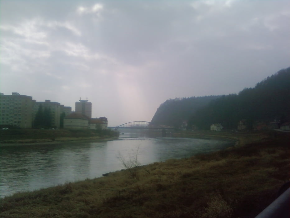
Tour geht bequem an der Elbe bis Decin.Dann über die Elbbrücke und entlang der B13 in Richtung
Liberec bergauf ! Dann links weg über die kleinen tschechischen Dörfchen nach Hrensko und wieder an der Elbe entlang bis Bad Schandau .Mit Kindern eher nicht geeignet da es durch Decin mal eine weile auf der vielbefahrenen B 13 lang geht .
galéria trás
Mapa trasy a výškový profil
Minimum height 113 m
Maximum height 416 m
komentáre

Tour beginnt in Bad Schandau Parkplatz am Bahnhof (kostenlos Parken)
GPS trasy
Trackpoints-
GPX / Garmin Map Source (gpx) download
-
TCX / Garmin Training Center® (tcx) download
-
CRS / Garmin Training Center® (crs) download
-
Google Earth (kml) download
-
G7ToWin (g7t) download
-
TTQV (trk) download
-
Overlay (ovl) download
-
Fugawi (txt) download
-
Kompass (DAV) Track (tk) download
-
list trasy (pdf) download
-
Original file of the author (gpx) download
Add to my favorites
Remove from my favorites
Edit tags
Open track
My score
Rate


