


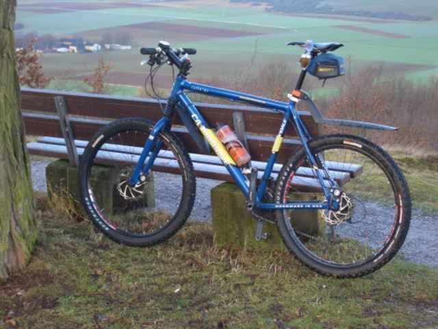
Lockere Tour auf fast durchgängig geteerten Wirschafts- und Radwegen. Ideal für die schlechte Jahreszeit.
Start ist in Frickhofen am Bahnhof, vorbei an den Außsiedlerhöfen nach Oberzeuzheim. Über die alte Hauptstraße nach Hadamar. Weiter über den Radweg nach Elz und Limburg. Dort durch die Stadt und über das Tal Josaphat hinauf nach Linter.
Ab Linter beginnt dann der einzige GA2-lastige Teil des Tages, der Anstieg zum Mensfelder Kopf. Oben angekommen genießen wir die herrliche Fernsicht. Wir fahren ab bis auf den Aartal Rad und Wanderweg und folgen diesm bis nach Diez. Weiter geht es ganz unspektakulär entland er Lahn und des Elbbaches wieder bis nach Frickhofen.
Further information at
http://www.mtb-frickhofen.degaléria trás
Mapa trasy a výškový profil
Minimum height 107 m
Maximum height 309 m
More about the tour author
|
|
mtb-frickhofen.de |
komentáre

Dornburg - Frickhofen liegt ca. 20 Km nordwestlich von Limburg/Lahn.
Man erreicht es von der A3 kommend, Ausfahrt Limburg-Nord, auf die B49/54 in Richtung Gießen, nach ca. 5 KM wechselt man auf die B54 in Richtung Siegen, dann die 2. Ausfahrt nach Dornburg. Durch Niederzeuzheim, nächster Ort ist Frickhofen.
Man erreicht es von der A3 kommend, Ausfahrt Limburg-Nord, auf die B49/54 in Richtung Gießen, nach ca. 5 KM wechselt man auf die B54 in Richtung Siegen, dann die 2. Ausfahrt nach Dornburg. Durch Niederzeuzheim, nächster Ort ist Frickhofen.
GPS trasy
Trackpoints-
GPX / Garmin Map Source (gpx) download
-
TCX / Garmin Training Center® (tcx) download
-
CRS / Garmin Training Center® (crs) download
-
Google Earth (kml) download
-
G7ToWin (g7t) download
-
TTQV (trk) download
-
Overlay (ovl) download
-
Fugawi (txt) download
-
Kompass (DAV) Track (tk) download
-
list trasy (pdf) download
-
Original file of the author (gpx) download
More about the tour author
|
|
mtb-frickhofen.de |
Add to my favorites
Remove from my favorites
Edit tags
Open track
My score
Rate