


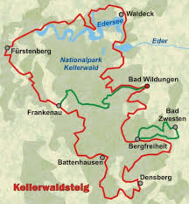
Südlicher Teil des Kellerwaldsteiges
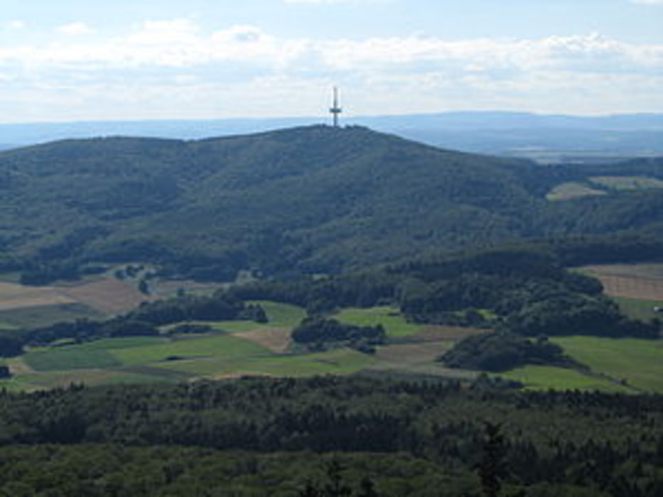
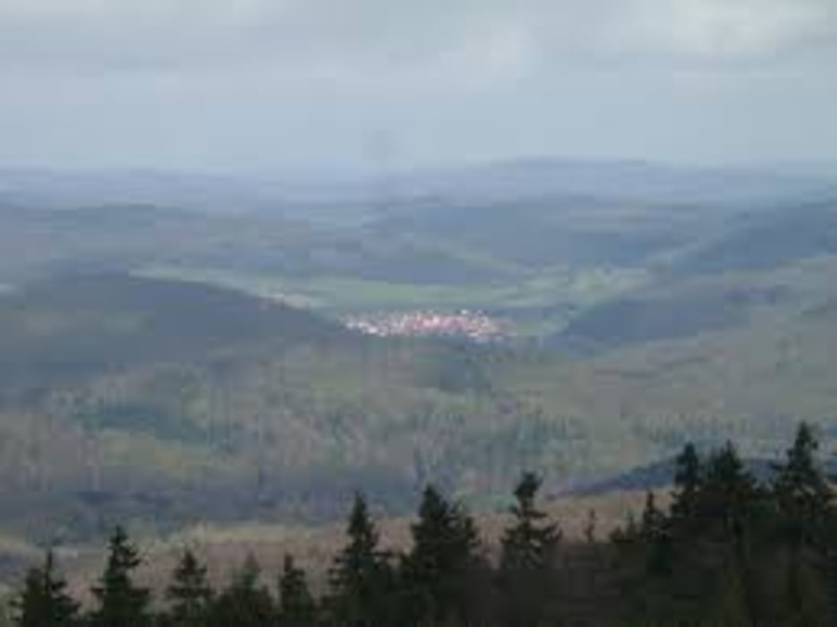
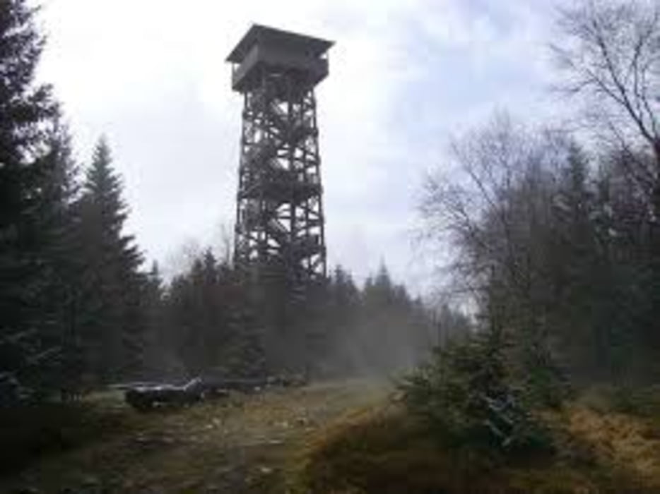
Die Tour beginnt in Großenenglis, kann aber auch in Bad Zwesten begonnen werden. von hieraus geht es gleich zum höchsten Punkt der Tour, auf den Wüstegarten der mit 675Hm schon was zubieten hat, und bei schönen Wetter eine Wunderbare ausicht bietet. und weiter geht es in Richtung Densberg, Schönstein, Hoheslohr,Battenhausen und dann wieder in Richtung Bad Zwesten. Die Tour hat einige Trails und geht zu 90% über Waldwege.
Rundenlänge ca. 82Km mit etwas mehr als 1500Hm.
galéria trás
Mapa trasy a výškový profil
Minimum height 188 m
Maximum height 674 m
More about the tour author
|
|
Majortom45 |
komentáre

GPS trasy
Trackpoints-
GPX / Garmin Map Source (gpx) download
-
TCX / Garmin Training Center® (tcx) download
-
CRS / Garmin Training Center® (crs) download
-
Google Earth (kml) download
-
G7ToWin (g7t) download
-
TTQV (trk) download
-
Overlay (ovl) download
-
Fugawi (txt) download
-
Kompass (DAV) Track (tk) download
-
list trasy (pdf) download
-
Original file of the author (gpx) download
More about the tour author
|
|
Majortom45 |
Add to my favorites
Remove from my favorites
Edit tags
Open track
My score
Rate