


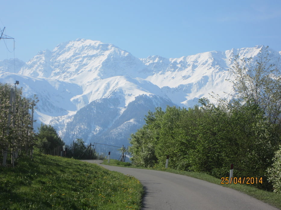
- KM 0 - 17,8 MH 879-938 auf dem Etschradweg von Laas nach Schluderns
- KM 17,8-19,6 MH 938-1.087 Anstieg auf Asfaltstrasse, kaum Verkehr.
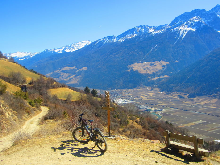
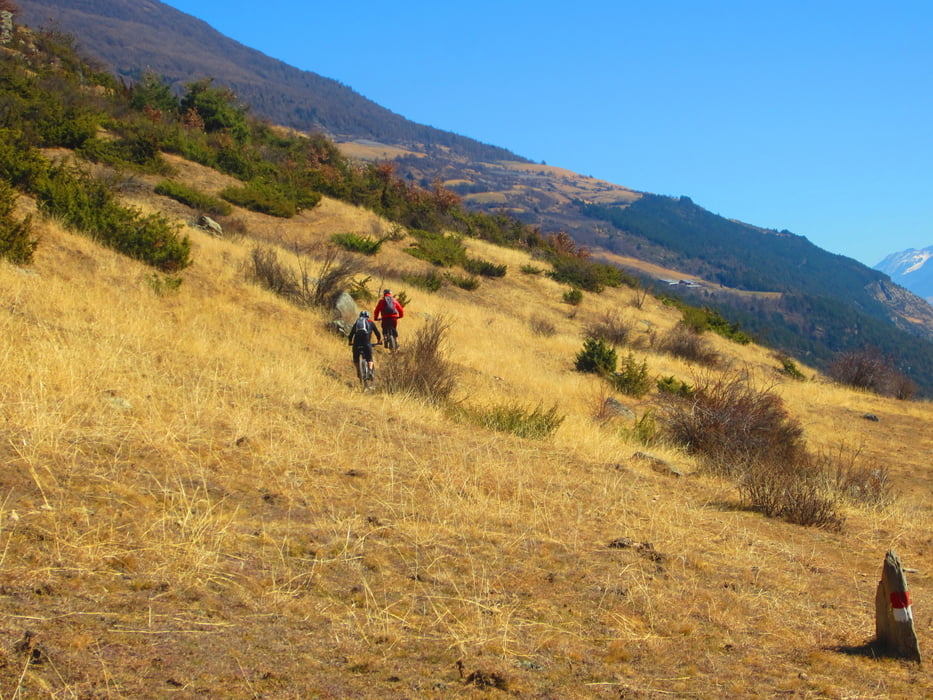
- KM 19,6-28,5 MH 1.087-1.312 Forstweg, Steig, viele Schiebepassagen, einige ausgesetzte Stellen.(Von KM 26-28,5 grösstenteils sehr steile Forststrasse mit gutem Untergrund)
- KM 28,5-32,3 MH 1.312-1.122 Abfahrt auf flowigem, schmalem Steig, öfters ausgesetzt, einige Schiebepassagen, durch traumhaftem Föhrenwald und über Schafweiden.
- KM 32,3-36,7 MH 1.122 -879 Abfahrt nach Laas auf Schotterweg durch die Obstgärten.
- Fahrtrichtung: Im Uhrzeigersinn
- Start/Ziel: Laas, Parkplatz an der Brücke, welche das Dorfzentrum mit dem Radweg verbindet.
PS. Wir sind die Tour mit dem E-MTB gefahren.
galéria trás


Mapa trasy a výškový profil
Minimum height 862 m
Maximum height 1325 m
More about the tour author
|
|
MargesinFriedrich |
komentáre

GPS trasy
Trackpoints-
GPX / Garmin Map Source (gpx) download
-
TCX / Garmin Training Center® (tcx) download
-
CRS / Garmin Training Center® (crs) download
-
Google Earth (kml) download
-
G7ToWin (g7t) download
-
TTQV (trk) download
-
Overlay (ovl) download
-
Fugawi (txt) download
-
Kompass (DAV) Track (tk) download
-
list trasy (pdf) download
-
Original file of the author (gpx) download
More about the tour author
|
|
MargesinFriedrich |
Add to my favorites
Remove from my favorites
Edit tags
Open track
My score
Rate