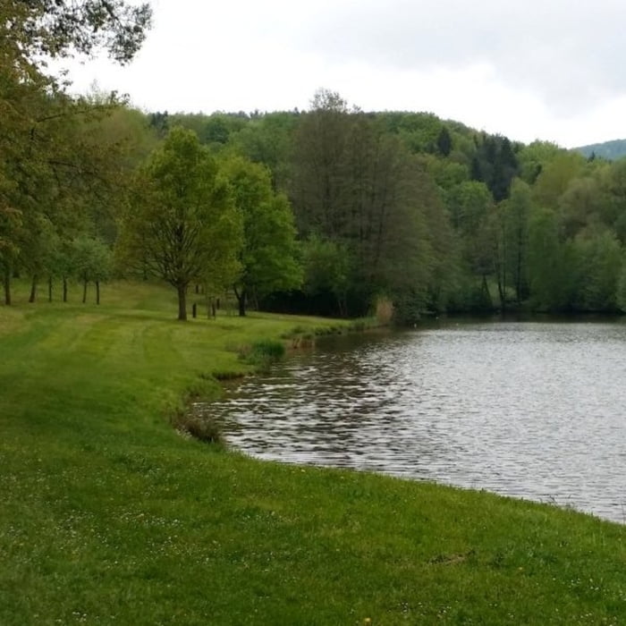
Startpunkt der Tour ist ein Wanderparkplatz in der Nähe der Bier- und Weinstube. Die Strecke führt überwiegend auf gut ausgebauten und ebenen Forstwirtschaftswegen ohne wesentliche Steigungen. Es sind weniger die Attraktionen die diese Tour auszeichnet es sind vielmehr die Landschaften, die ruhigen und gemütlichen Wiesentäler in mitten von Wald.
galéria trás
Mapa trasy a výškový profil
Minimum height 191 m
Maximum height 356 m
komentáre

GPS trasy
Trackpoints-
GPX / Garmin Map Source (gpx) download
-
TCX / Garmin Training Center® (tcx) download
-
CRS / Garmin Training Center® (crs) download
-
Google Earth (kml) download
-
G7ToWin (g7t) download
-
TTQV (trk) download
-
Overlay (ovl) download
-
Fugawi (txt) download
-
Kompass (DAV) Track (tk) download
-
list trasy (pdf) download
-
Original file of the author (gpx) download
Add to my favorites
Remove from my favorites
Edit tags
Open track
My score
Rate


