
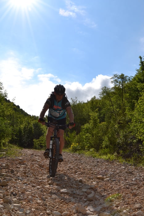

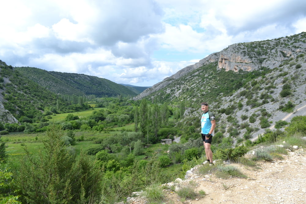
Start war Konjevrate,von da ging es bald auf Schotterwegen in einen tollen Canyon mit GRÜNER Landschaft hinunter,den der Fluss Cikola durchquert.Hinauf geht es dann über Schotterserpentinen wieder auf die Ebene.Nächster toller Aussichtspunkt ist der Blick auf das Kloster Visovac das mitten im Fluss der Krka steht.Da geht es dann auch hinunter.Gleiche Strecke wieder herauf und weiter nach Roski Slap wo eine schönen Flusslandschaft wartet,mit Wasserfällen (hier ist Eintritt zu zahlen).Den Berg wieder hinauf gestrampelt geht auf ebener Strasse,meist Schotter,weiter in eine Schlucht wo der Fluss Cikola überquert wird.Von da geht es dann zurück zum Ausgangspunkt.
galéria trás


Mapa trasy a výškový profil
Minimum height 51 m
Maximum height 273 m
More about the tour author
|
|
plazo100 |
komentáre

GPS trasy
Trackpoints-
GPX / Garmin Map Source (gpx) download
-
TCX / Garmin Training Center® (tcx) download
-
CRS / Garmin Training Center® (crs) download
-
Google Earth (kml) download
-
G7ToWin (g7t) download
-
TTQV (trk) download
-
Overlay (ovl) download
-
Fugawi (txt) download
-
Kompass (DAV) Track (tk) download
-
list trasy (pdf) download
-
Original file of the author (gpx) download
More about the tour author
|
|
plazo100 |
Add to my favorites
Remove from my favorites
Edit tags
Open track
My score
Rate