Hallo Zusammen,
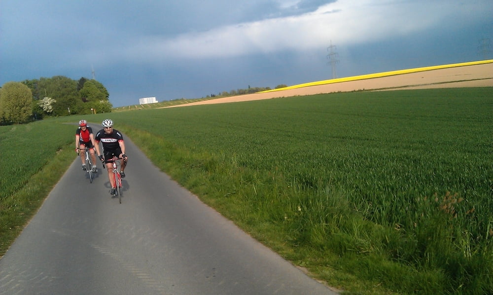
dies ist eine Trainigsrunde mit dem Rennrad durch den Kreis Mettmann! Ein Teil läuft über Nebenstraßen, so dass mit weniger Verkehr zu rechnen ist. Schöne Runde über die Felder von Mettmann.
Mapa trasy a výškový profil
Minimum height 7 m
Maximum height 223 m
komentáre

GPS trasy
Trackpoints-
GPX / Garmin Map Source (gpx) download
-
TCX / Garmin Training Center® (tcx) download
-
CRS / Garmin Training Center® (crs) download
-
Google Earth (kml) download
-
G7ToWin (g7t) download
-
TTQV (trk) download
-
Overlay (ovl) download
-
Fugawi (txt) download
-
Kompass (DAV) Track (tk) download
-
list trasy (pdf) download
-
Original file of the author (gpx) download
Add to my favorites
Remove from my favorites
Edit tags
Open track
My score
Rate

