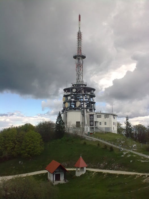
The tour may be started from the parking place next to industry/train area of Trbovlje. A steep uphill on asphalt and a short part gravel road leads to the viewpoint Kum. The downhill is on short part of S1-Trail and rugged, steep road but mostly on Asphalt. Due to the loop a short time has to completed on a main road.
galéria trás
Mapa trasy a výškový profil
Minimum height 216 m
Maximum height 1223 m
komentáre

GPS trasy
Trackpoints-
GPX / Garmin Map Source (gpx) download
-
TCX / Garmin Training Center® (tcx) download
-
CRS / Garmin Training Center® (crs) download
-
Google Earth (kml) download
-
G7ToWin (g7t) download
-
TTQV (trk) download
-
Overlay (ovl) download
-
Fugawi (txt) download
-
Kompass (DAV) Track (tk) download
-
list trasy (pdf) download
-
Original file of the author (gpx) download
Add to my favorites
Remove from my favorites
Edit tags
Open track
My score
Rate


