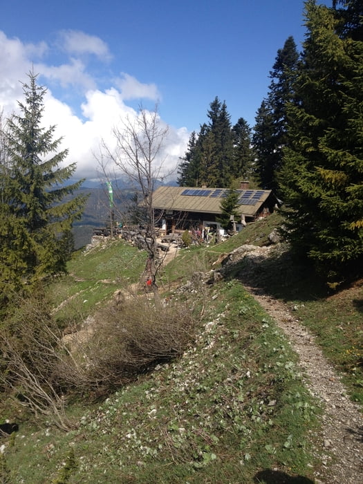
Mittenwald-Brunnsteinhütte-Mittenwald
Die Tour startet von Mittenwald, Innsbrucker Straße. Wir laufen durch die Unterführung der Umgehungsstraße und halte uns danach rechts, Richtung Brunnsteinhütte (blaue Route).
Die Sulzeklamm kann man einmal zu Fuß und einmal über die neue Hängebrücke passieren. Wir haben einfach beides ausprobiert :-)
Einfache, schöne Tour, tolle Aussicht, ca. 750 Höhenmeter, ca. 12 Km, Nettogehzeit 3,5 h
Kann man sehr gut auch mit Hund gehen.
Further information at
http://www.brunnsteinhuette.degaléria trás
Mapa trasy a výškový profil
komentáre

Ausgangspunkt: Mittenwald, Innsbrucker Straße
GPS trasy
Trackpoints-
GPX / Garmin Map Source (gpx) download
-
TCX / Garmin Training Center® (tcx) download
-
CRS / Garmin Training Center® (crs) download
-
Google Earth (kml) download
-
G7ToWin (g7t) download
-
TTQV (trk) download
-
Overlay (ovl) download
-
Fugawi (txt) download
-
Kompass (DAV) Track (tk) download
-
list trasy (pdf) download
-
Original file of the author (gpx) download


