
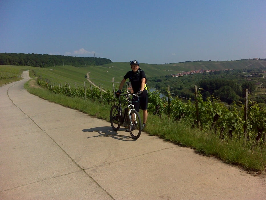

Schöne 4 1/2 Std. Tour durch das Fränk. Weinland, nur Radwege bzw. Flurstraßen, kein Autoverkehr bis auf wenige Kreuzungen. Zwei Überquerungen des Mains mittels Fähren (Escherndorf-Nordheim und bei Wipfeld) Durchwegs befestigte Straßen, allenfalls mal Schotterpiste. Einkehrmöglichkeiten ausreichend vorhanden, wir waren in Volkach am alten Bahnhof im Brothaus Kohler. Lecker Cappucchino und Erdbeerkuchen!
Mapa trasy a výškový profil
Minimum height 151 m
Maximum height 317 m
More about the tour author
|
|
wuerzbiker |
komentáre

Von meinem Wohnort Rimpar, Kaspar-Schnetter-Str. in den Main-Werra Fernradweg Richtung Maidbronn bzw. Mühlhausen einklinken, dann über Estenfeld-Kürnach-Seligenstadt-Neusetz-Köhler-Escherndorf-Nordheim-Volkach-Fahr a.M.-Stammheim-Wipfeld-Schwanfeld-Opferbaum-Bergtheim-Unterpleichfeld-Burggrumbach über den 2 Bächle Radweg zurück nach Rimpar.
GPS trasy
Trackpoints-
GPX / Garmin Map Source (gpx) download
-
TCX / Garmin Training Center® (tcx) download
-
CRS / Garmin Training Center® (crs) download
-
Google Earth (kml) download
-
G7ToWin (g7t) download
-
TTQV (trk) download
-
Overlay (ovl) download
-
Fugawi (txt) download
-
Kompass (DAV) Track (tk) download
-
list trasy (pdf) download
-
Original file of the author (gpx) download
More about the tour author
|
|
wuerzbiker |
Add to my favorites
Remove from my favorites
Edit tags
Open track
My score
Rate