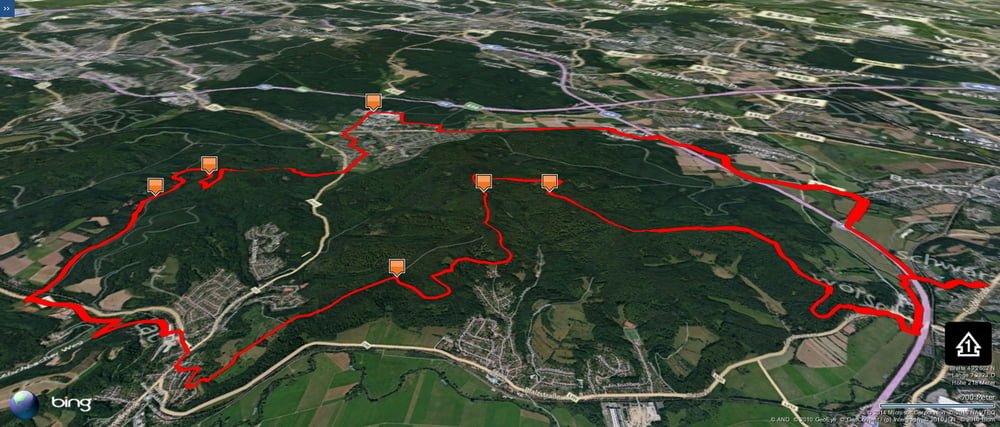
Eine weitere Rundde von Schwarzenbach nach Kirkel und zurück.
Weil der östliche Kirkeler Wald mir schon gut bekannt ist nehme ich einen netten weg über den westlichen Kirkeler Wald nach Süden.
Und weil ich die Bliestalau auch schon gut kenne radle ich von Lautzkirchen auf den östlichen Hügel des Kirkeler Waldes hoch um hier noch weitere sehr schöne Wegvarianten über Peters Eiche und die 7 Fichten einzubauen.
Ich habe diese Runde sehr genossen.
Further information at
https://de.wikipedia.org/wiki/Liste_der_naturr%C3%A4umlichen_Einheiten_im_Saarlandgaléria trás
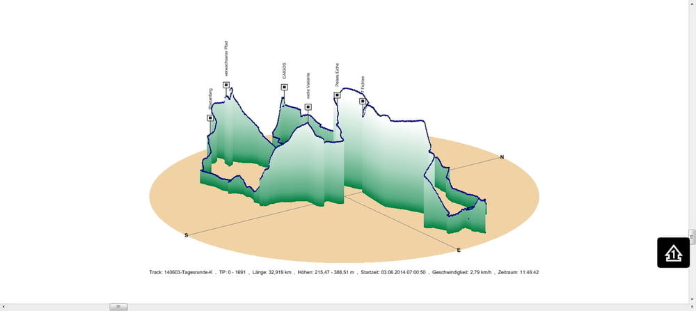
Mapa trasy a výškový profil
Minimum height 215 m
Maximum height 389 m
komentáre

In Schwarzenbach geht es los.
GPS trasy
Trackpoints-
GPX / Garmin Map Source (gpx) download
-
TCX / Garmin Training Center® (tcx) download
-
CRS / Garmin Training Center® (crs) download
-
Google Earth (kml) download
-
G7ToWin (g7t) download
-
TTQV (trk) download
-
Overlay (ovl) download
-
Fugawi (txt) download
-
Kompass (DAV) Track (tk) download
-
list trasy (pdf) download
-
Original file of the author (gpx) download
Add to my favorites
Remove from my favorites
Edit tags
Open track
My score
Rate


