
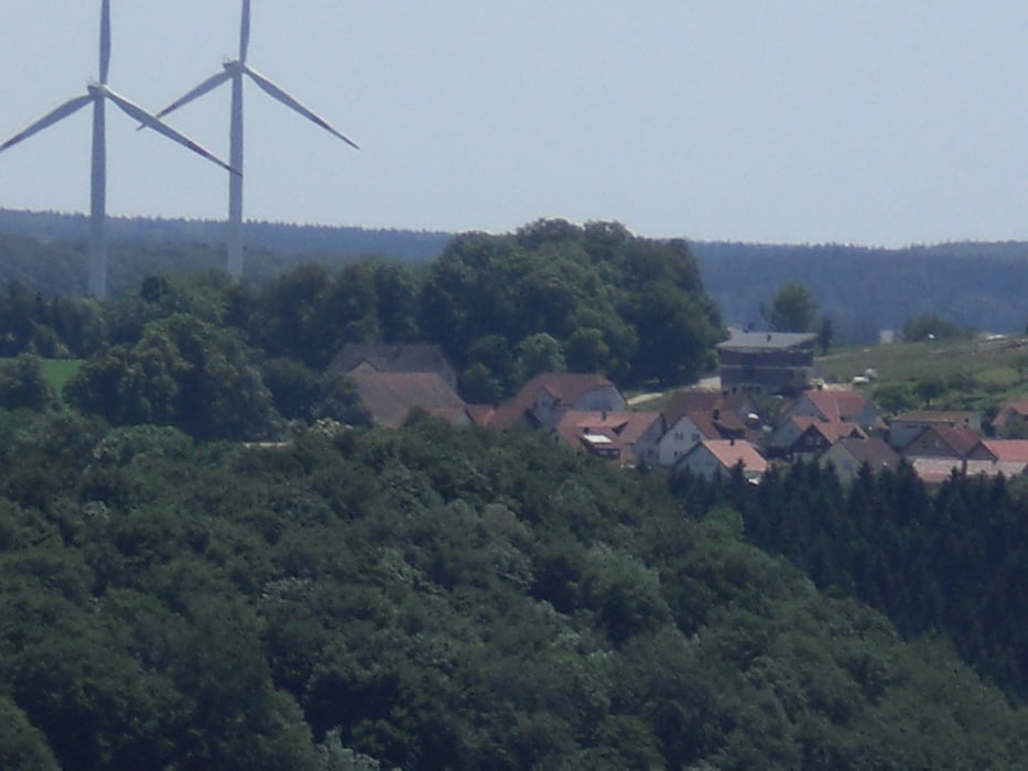

vom Camping Hirtenteich in Lauterburg fahren wir zur Waldschenke und dann zur Ruine Rosenstein. Ab hier muss man über ein paar Treppen und Stufen das Bike schieben oder tragen. Hinauf gehts auf einem schönen Singletrail im Wald wieder hinauf. Die nächste Abfahrt (Downhill) ist nicht so prickelnd. Erst durch hohes Gras und mit vielenÄsten gespickter Weg hinab ins Leppertal nach Lautern. Von dort wieder hinauf nach Lauterburg zurück zum Campingplatz.
Mapa trasy a výškový profil
Minimum height 475 m
Maximum height 761 m
More about the tour author
|
|
Fruehaufsteher |
komentáre

GPS trasy
Trackpoints-
GPX / Garmin Map Source (gpx) download
-
TCX / Garmin Training Center® (tcx) download
-
CRS / Garmin Training Center® (crs) download
-
Google Earth (kml) download
-
G7ToWin (g7t) download
-
TTQV (trk) download
-
Overlay (ovl) download
-
Fugawi (txt) download
-
Kompass (DAV) Track (tk) download
-
list trasy (pdf) download
-
Original file of the author (gpx) download
More about the tour author
|
|
Fruehaufsteher |
Add to my favorites
Remove from my favorites
Edit tags
Open track
My score
Rate