
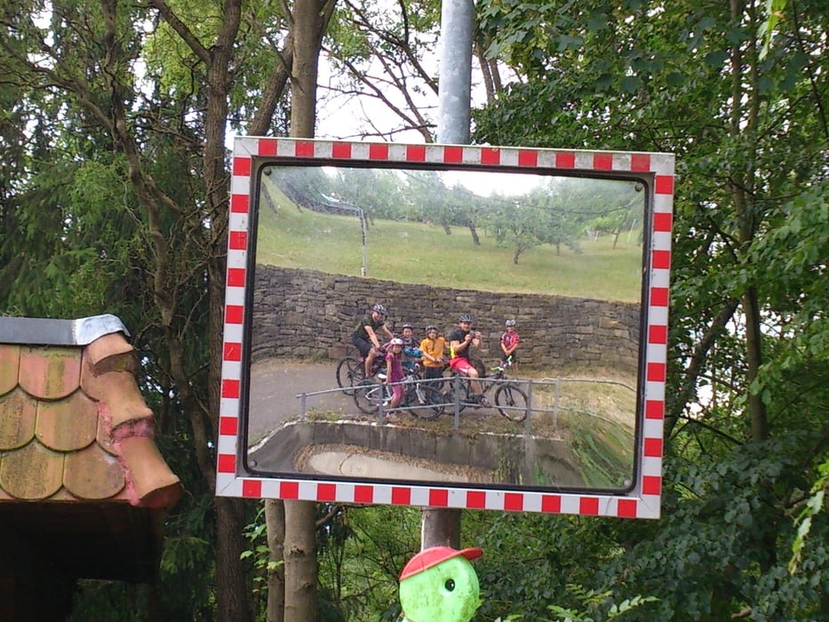

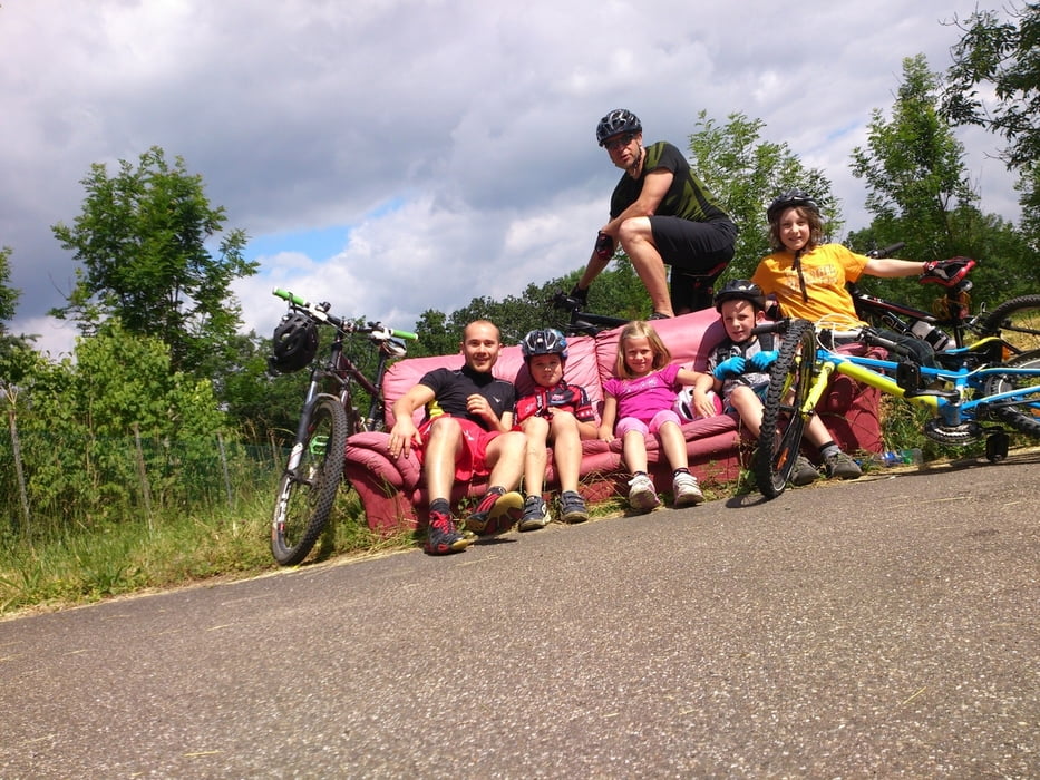
gemütliche Tour für Kinder zwischen 8-11 mit etwas Technik, kurz das Fahrrad tragen,.... alles dabei
Further information at
http://tv-grosssachsenheim.de/cms/iwebs/default.aspx?mmid=7798&smid=27715#132515galéria trás
Mapa trasy a výškový profil
Minimum height 194 m
Maximum height 297 m
More about the tour author
|
|
Johi1 |
komentáre

los gings vom Fundus in Sachsenheim, zur Moschee über einen kleinen steilen Trail durch den Wald mit abschließender Schanze, weiter nach Metterzimmern den steilen Berg hoch.
Kurz vor Ende des Berges links den Berg entlang fahren durch enge Wege, zum Schluss geht es über eine Wiese wieder zu befestigtem Weg der nach Kleinsachsenheim zu einem Spielplatz mit Sprungmöglichkeiten auf die Straße bietet. Durch Kleinsachsenheim wieder zur Metter und hoch zum Fußballplatz Großsachsenheim.
Zum Abschluss und zu einigen Techniktrainings ging es auf das Gelände des Lichtensterngymnasiums. Treppen, Schanzen und ausreichend Platz sind dort vorzufinden.
GPS trasy
Trackpoints-
GPX / Garmin Map Source (gpx) download
-
TCX / Garmin Training Center® (tcx) download
-
CRS / Garmin Training Center® (crs) download
-
Google Earth (kml) download
-
G7ToWin (g7t) download
-
TTQV (trk) download
-
Overlay (ovl) download
-
Fugawi (txt) download
-
Kompass (DAV) Track (tk) download
-
list trasy (pdf) download
-
Original file of the author (gpx) download
More about the tour author
|
|
Johi1 |
Add to my favorites
Remove from my favorites
Edit tags
Open track
My score
Rate