Login

Zabudli ste prihlasovacia meno

Cookies have to be accepted!
Your browser's cookie functionality is disabled. Please enable this functionality.

Not a member yet?

Register now
Login

Available for registred users only

Log in to use this feature.

Zabudli ste prihlasovacia meno

Cookies have to be accepted!
Your browser's cookie functionality is disabled. Please enable this functionality.

Not a member yet?

Register now
Filter
Kategórie
Advanced filters
  • Dĺžka (km)
  • výškomer
Uložiť filter Reset filter

TrackRank

QRCode

Technical data

Dĺžka23,5 km výškomer335 m Way down341 m Doba00:02 h:m dátum16.06.2014
ohodnotenia Author Kraj pôžitok z túry kondícia technika

štatistika

220 náhľady ohodnotenia 49 Stiahnutia priemer
Rate
  • list trasy
  • príjazd
  • Stiahnutia

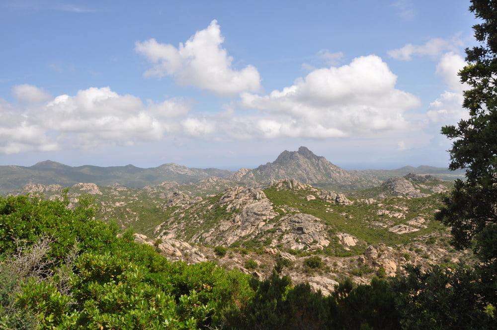
Nette Runde um St. Florent im Hinterland. 80% Asphalt und rel. wenig „stark“ befahrene Straßen.


Mapa trasy a výškový profil

  • Open Street Map
  • Google
Minimum height 1 m Maximum height 267 m Detailný pohľad

More about the tour author

hiasmo
Member since 2009

Send private message

komentáre

Start/Ziel St. Florent


GPS trasy

Trackpoints
  • GPX / Garmin Map Source (gpx) download
  • TCX / Garmin Training Center® (tcx) download
  • CRS / Garmin Training Center® (crs) download
  • Google Earth (kml) download
  • G7ToWin (g7t) download
  • TTQV (trk) download
  • Overlay (ovl) download
  • Fugawi (txt) download
  • Kompass (DAV) Track (tk) download
  • list trasy (pdf) download
  • Original file of the author (gpx) download

More about the tour author

hiasmo
Member since 2009

Send private message
Share track
Add to my favorites
Remove from my favorites
Edit tags
My score
Rate
trasa: St. Florent
Druh: cykloturistika
Dĺžka: 23,5 km
Evaluated on:
Doba:
Day(s)
Hour(s)
Minute(s)
ohodnotenie: Kraj pôžitok z túry kondícia technika