Login

Zabudli ste prihlasovacia meno

Cookies have to be accepted!
Your browser's cookie functionality is disabled. Please enable this functionality.

Not a member yet?

Register now
Login

Available for registred users only

Log in to use this feature.

Zabudli ste prihlasovacia meno

Cookies have to be accepted!
Your browser's cookie functionality is disabled. Please enable this functionality.

Not a member yet?

Register now
Filter
Kategórie
Advanced filters
  • Dĺžka (km)
  • výškomer
Uložiť filter Reset filter

TrackRank

QRCode

Technical data

Dĺžka29,0 km výškomer239 m Way down238 m Doba02:00 h:m dátum24.06.2014
ohodnotenia Author User Kraj pôžitok z túry kondícia technika

štatistika

175 náhľady ohodnotenia 63 Stiahnutia priemer
Rate
  • list trasy
  • príjazd
  • Stiahnutia

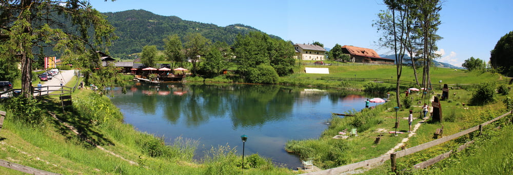
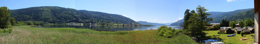
Einmal rund um den Ossiacher-See mit Stopp-Möglichkeiten én masse. Wir haben beim Forellenteich Halt gemacht, da gibt es fangfrische (auch selbst gefangene) Forellen !

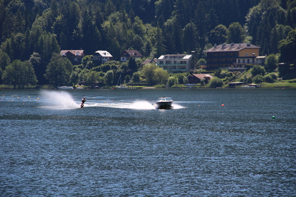
Es gibt mehrere Möglichkeiten (Strandbäder) zum Wasser zu kommen und viele interessante Ausblicke und Einblicke.

galéria trás

Mapa trasy a výškový profil

  • Open Street Map
  • Google
Minimum height 494 m Maximum height 537 m Detailný pohľad

More about the tour author

noCanGuru
Member since 2014

Send private message

komentáre

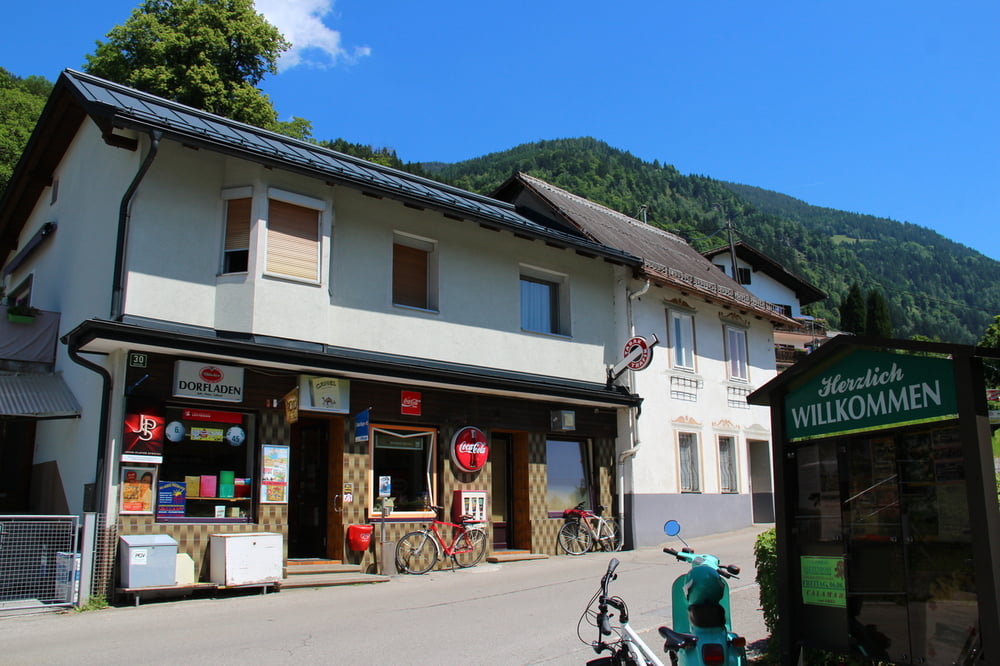
Anfahrt zum Nordufer, Bahnhof in Bodensdorf.

Vom Fahrradverleih in Bodensdorf sind wir dann gegen den Uhrzeigersinn um den See gefahren.

GPS trasy

Trackpoints
  • GPX / Garmin Map Source (gpx) download
  • TCX / Garmin Training Center® (tcx) download
  • CRS / Garmin Training Center® (crs) download
  • Google Earth (kml) download
  • G7ToWin (g7t) download
  • TTQV (trk) download
  • Overlay (ovl) download
  • Fugawi (txt) download
  • Kompass (DAV) Track (tk) download
  • list trasy (pdf) download
  • Original file of the author (gpx) download

More about the tour author

noCanGuru
Member since 2014

Send private message
Share track
Add to my favorites
Remove from my favorites
Edit tags
My score
Rate
trasa: Ossi-Runde
Druh: cykloturistika
Dĺžka: 29,0 km
Evaluated on:
Doba:
Day(s)
Hour(s)
Minute(s)
ohodnotenie: Kraj pôžitok z túry kondícia technika